Cat Lai - Vung Tau via Lakes
Distance: 155 kms
This is by far the best way I’ve been to avoid the traffic getting out North of the city and my favourite way to Vung Tau also. The police are rather active in the first 10 km or so from the ferry so watch your speed in that area.
Once you’re on the North side of the highway the roads open up and you can get a little more liberal with the throttle.
You’ll pass under the expressway and that’s my indicator that the fun is about to get real.
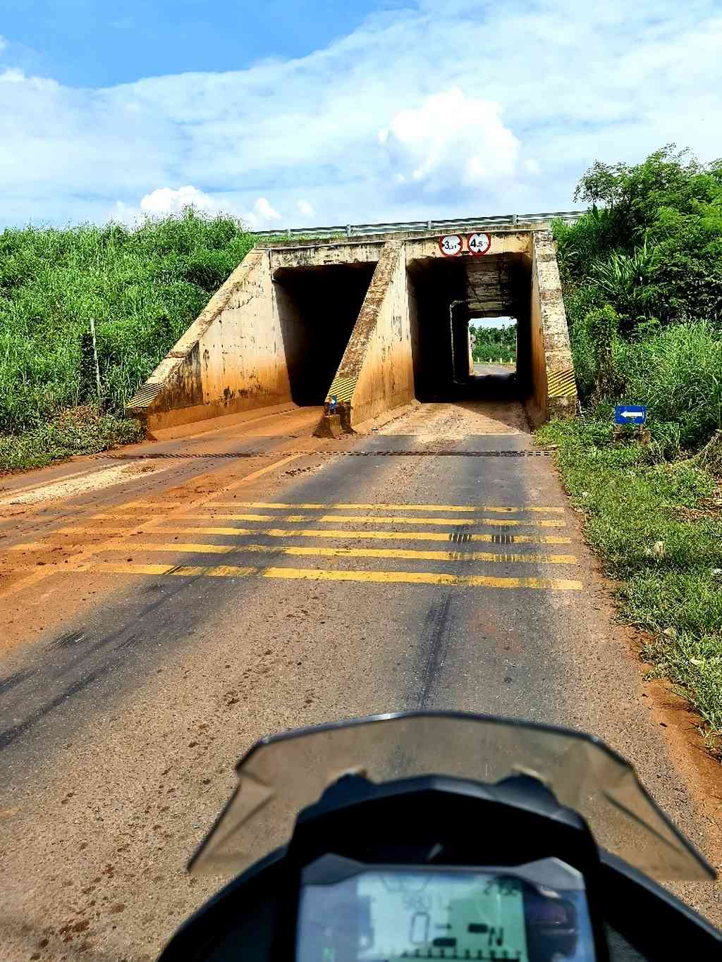
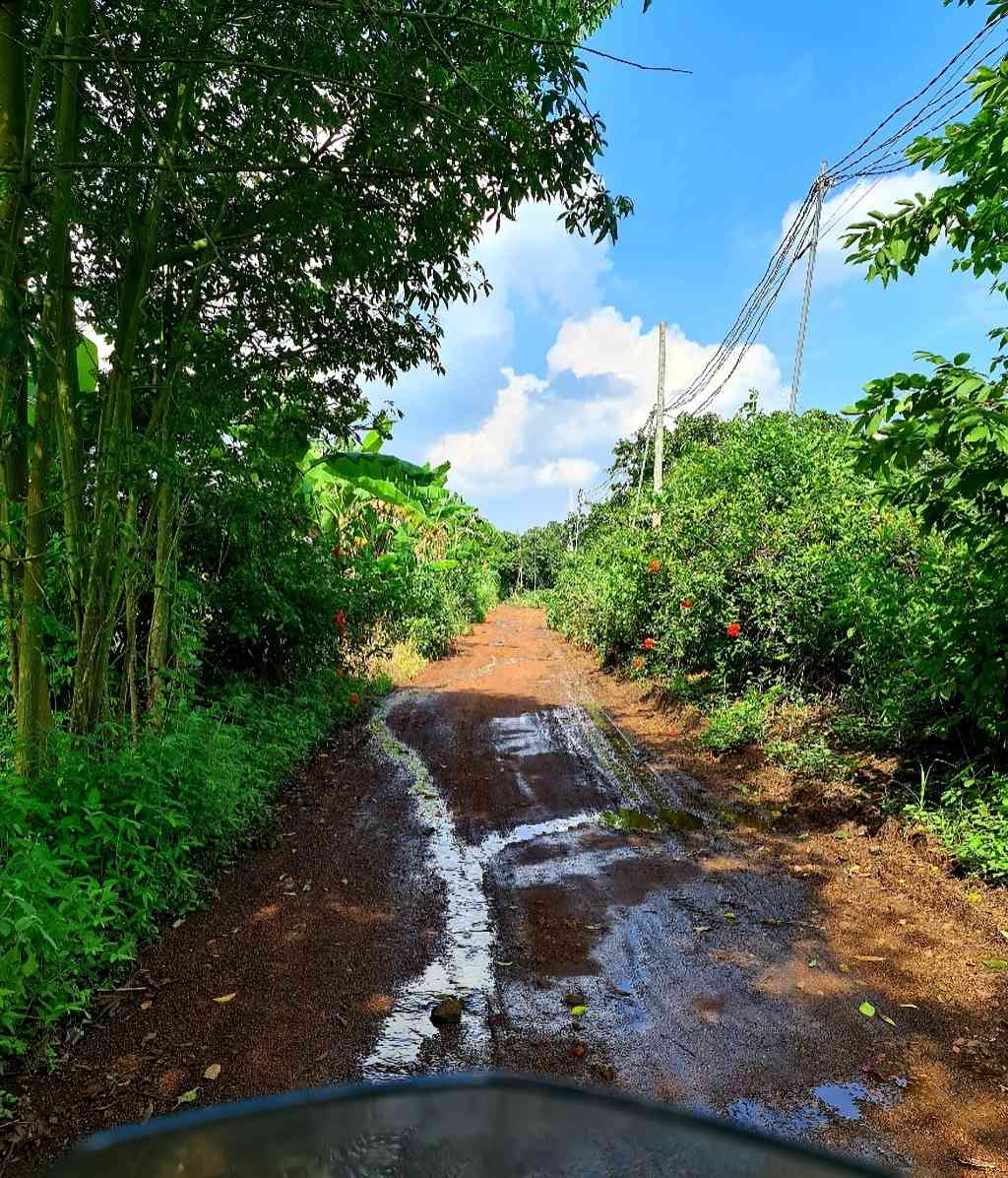
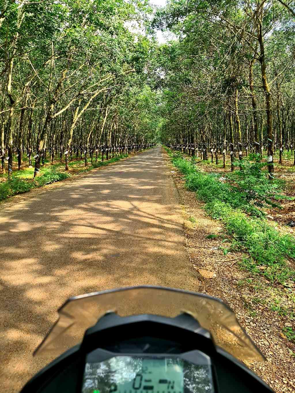
From there its diverse farmland and rubber plantations most of the way to the coast. Plenty of great deviations off this map so if you have time follow it loosely and enjoy some exploring. Many of the trails aren’t on maps but it doesn’t matter you’ll pick it up again later.
(A) gets you around the first and usually the only police stop and a bowl of Pho if you missed breakfast. Some other good food options once you get over the highway.
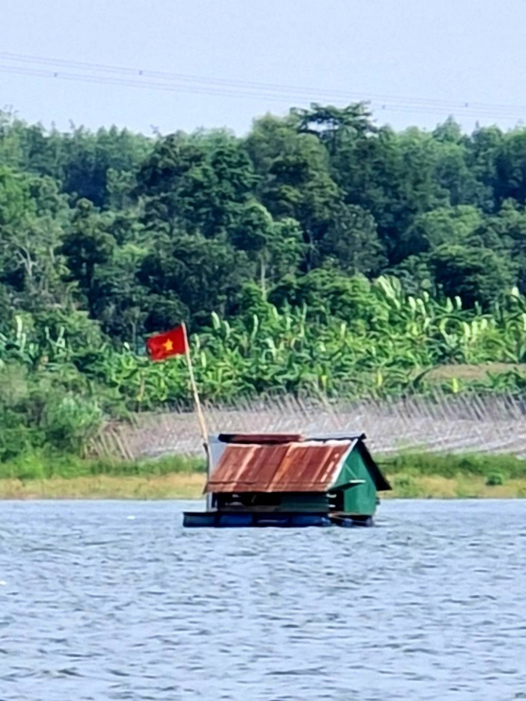
(B & C) are a couple of lakes to check out. Plenty of exploring to be done around these. Corn, banana, pepper, lots of sweet potato and cassava are grown in this area.
(D) is a good lunch option and keeps on the right track through some rubber to the next lake. Careful ordering – the portions are very generous.
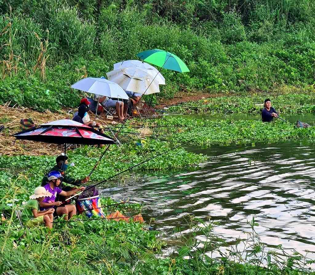
(E) is another lake and a good spot to throw a line for a half distance break.
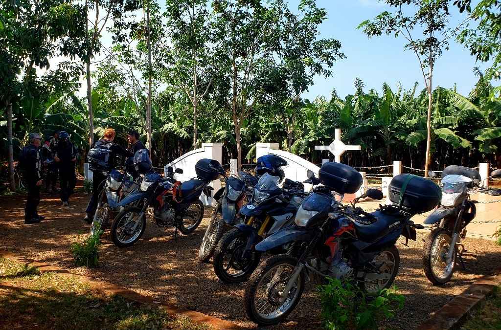
(F) is a memorial cross in memory of the 18 Australian and 245 Vietnamese soldiers killed In the August 1966 Battle of Long Tan.
(G) gets you down to the ocean for a coastal ride into Vung Tau. If short on time you can drop (G) at the Long Tan Cross for the more direct run in through Ba Ria.
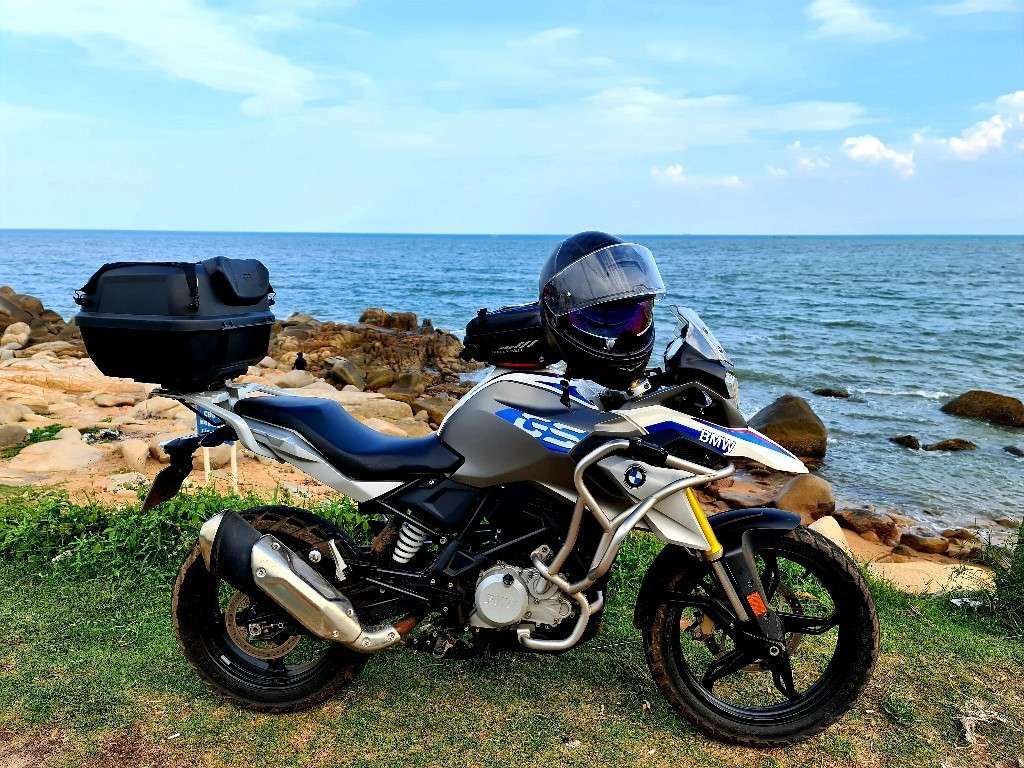
(H) for a nice ride around the coast into Vung Tau.
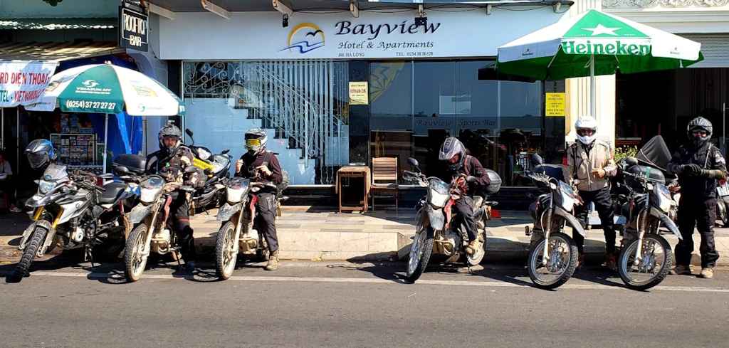
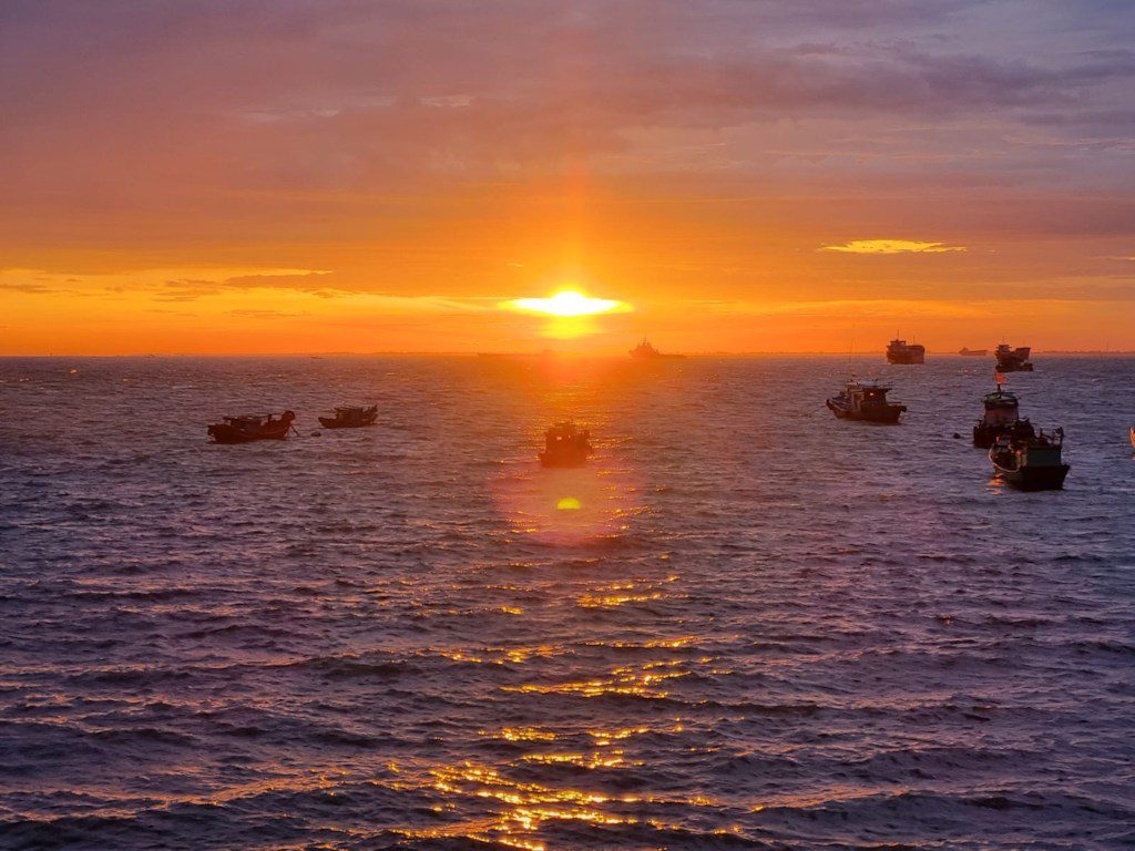
(I) A cold beer for sundowners overlooking the harbour awaits. An air conditioned sports bar with a great rooftop area all at a very reasonable price.