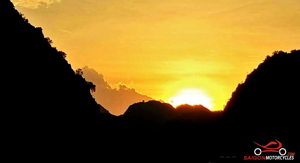
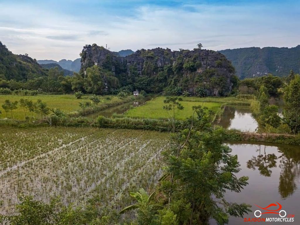
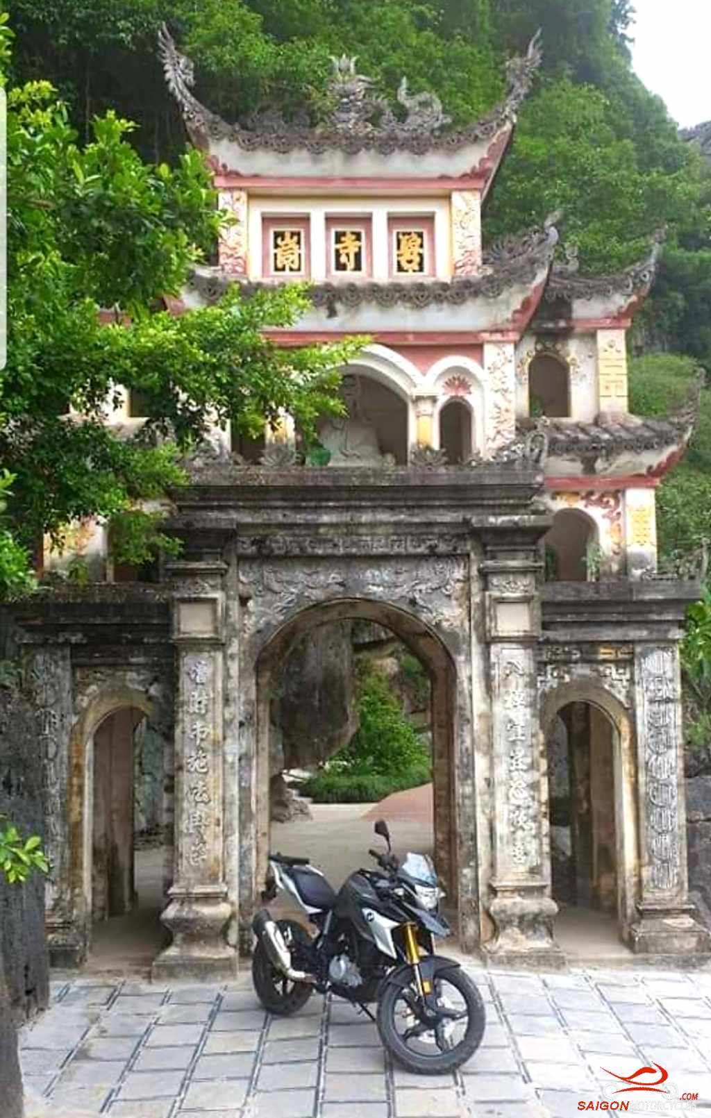
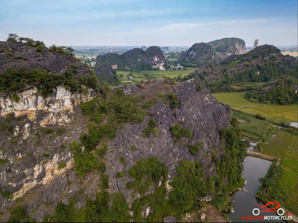
Day 1: Hanoi - Tam Coc - 140 kms


Day 2: Tam Coc - Pu Luong - 170 kms

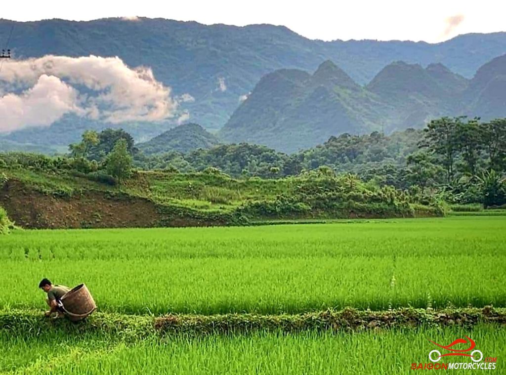


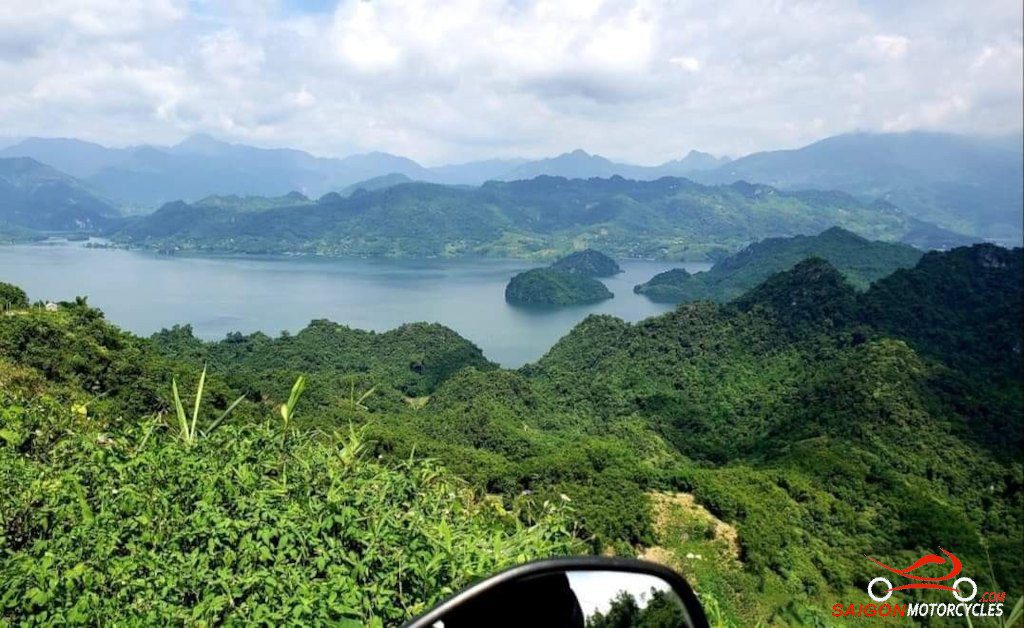
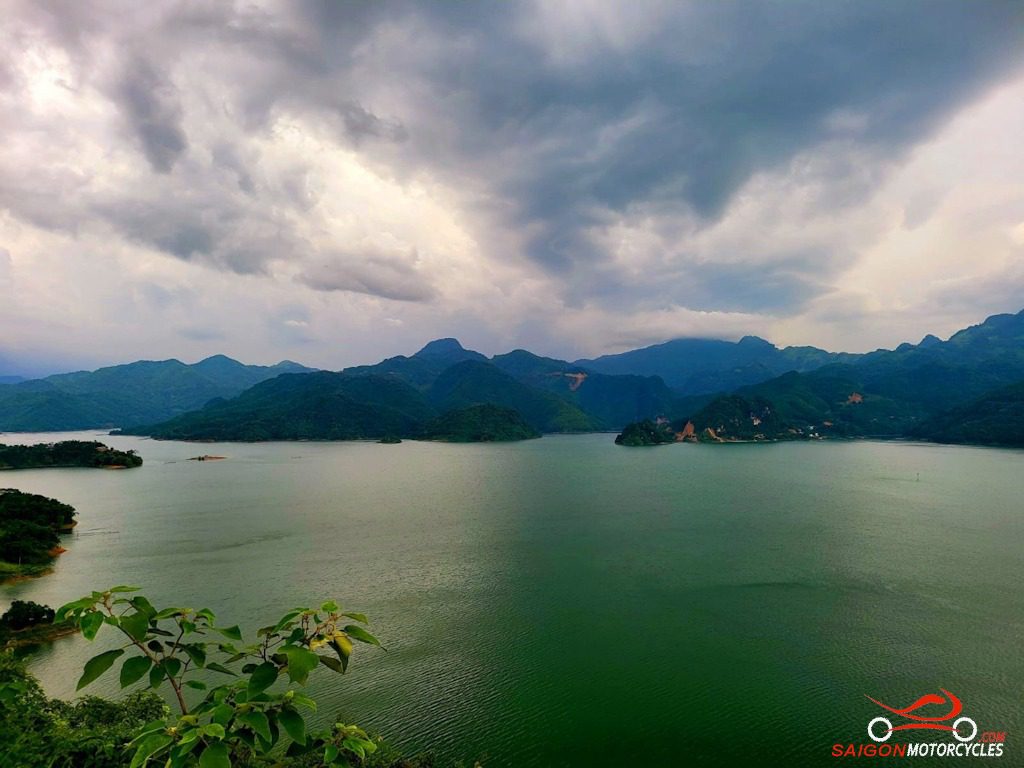
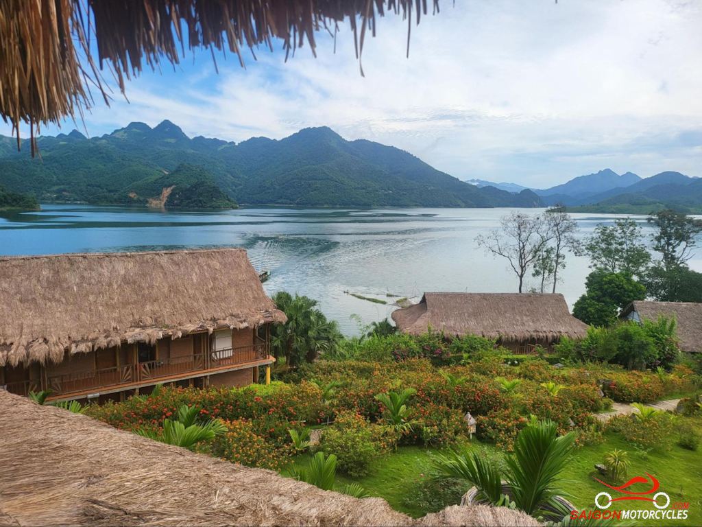
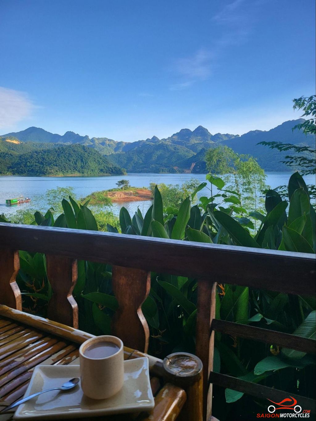
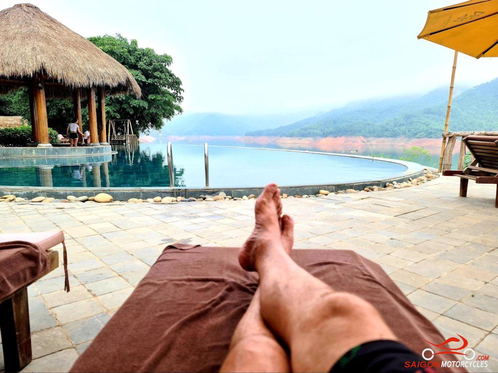
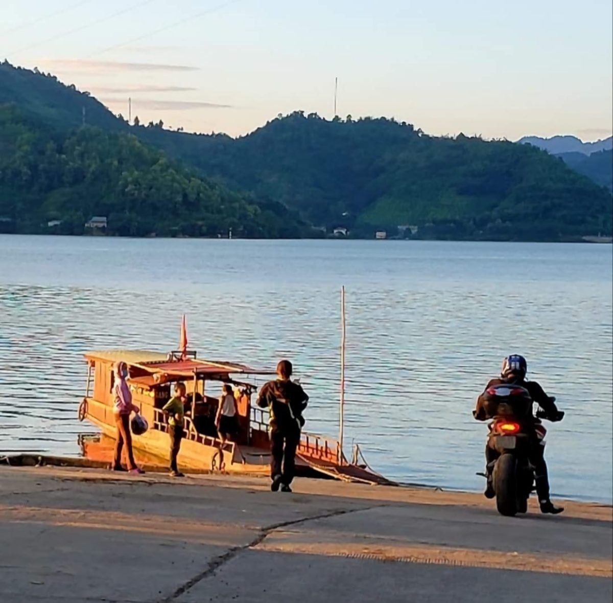
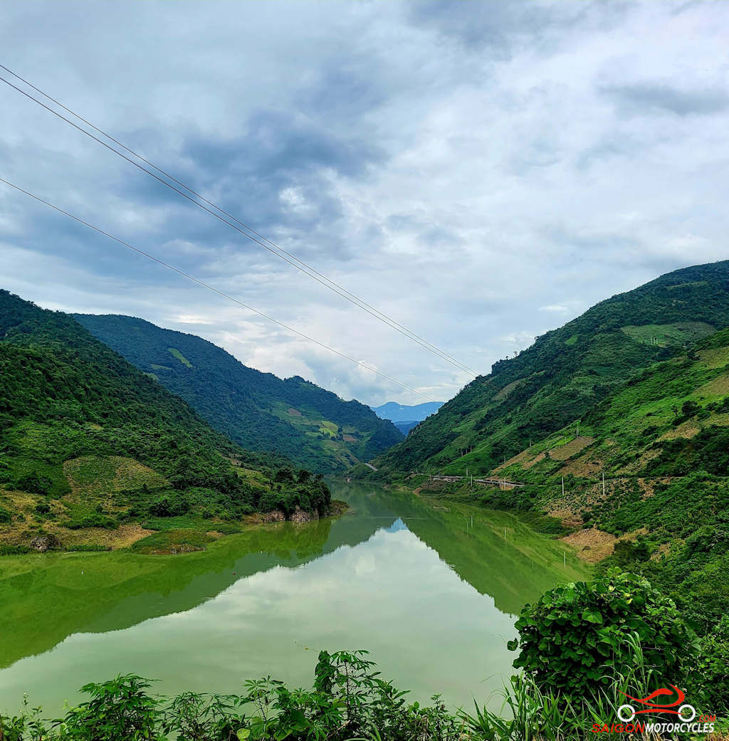
Day 3: Pu Luong - Hoa Binh Lake - 95 kms
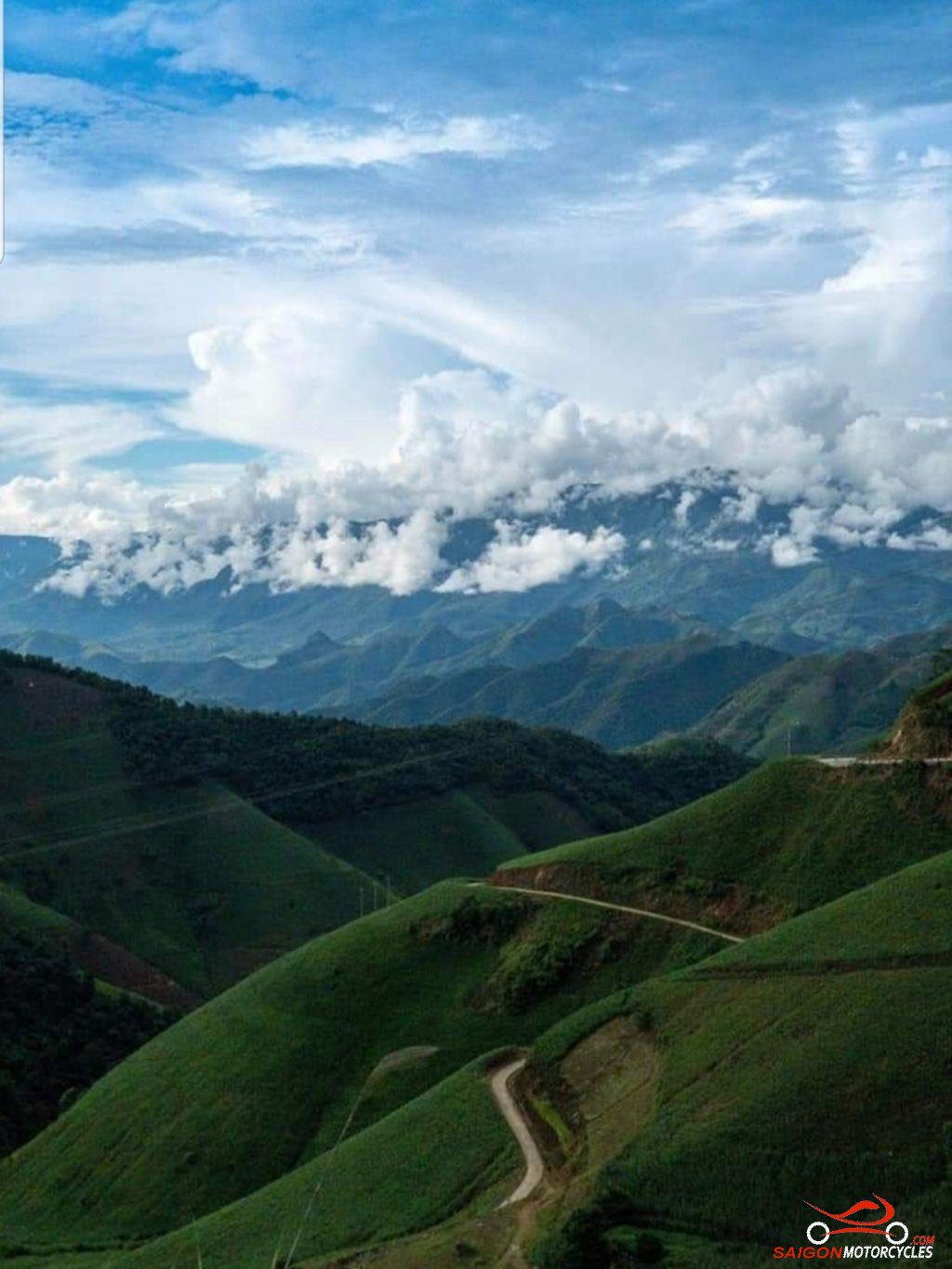
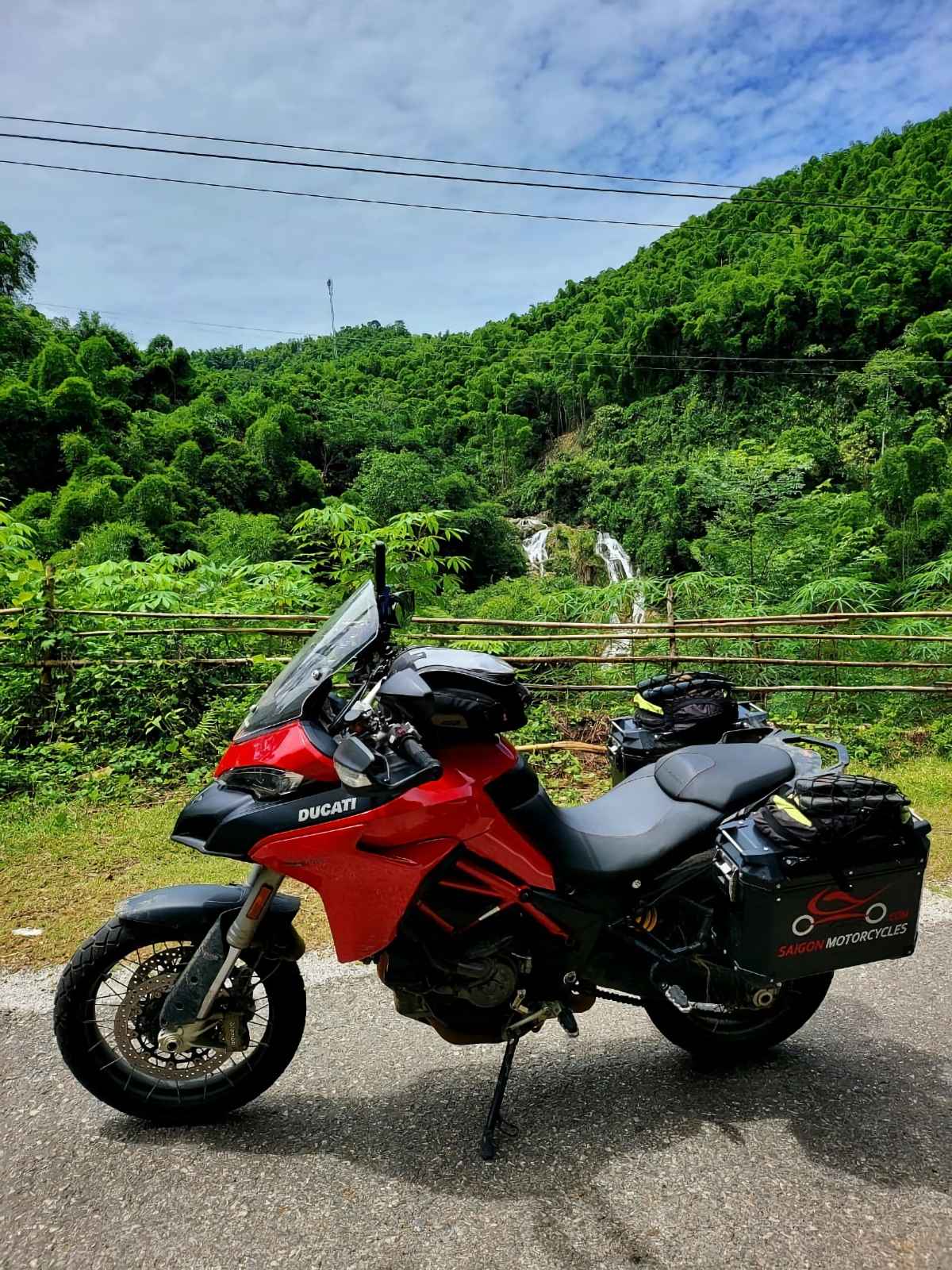
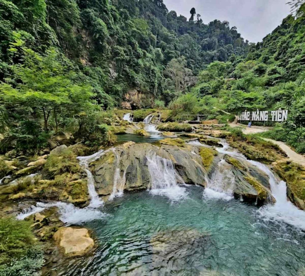
Day 4: Hoa Binh Lake - Ta Xua - 155 kms


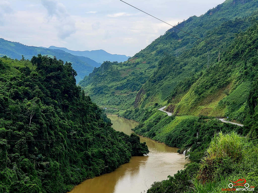
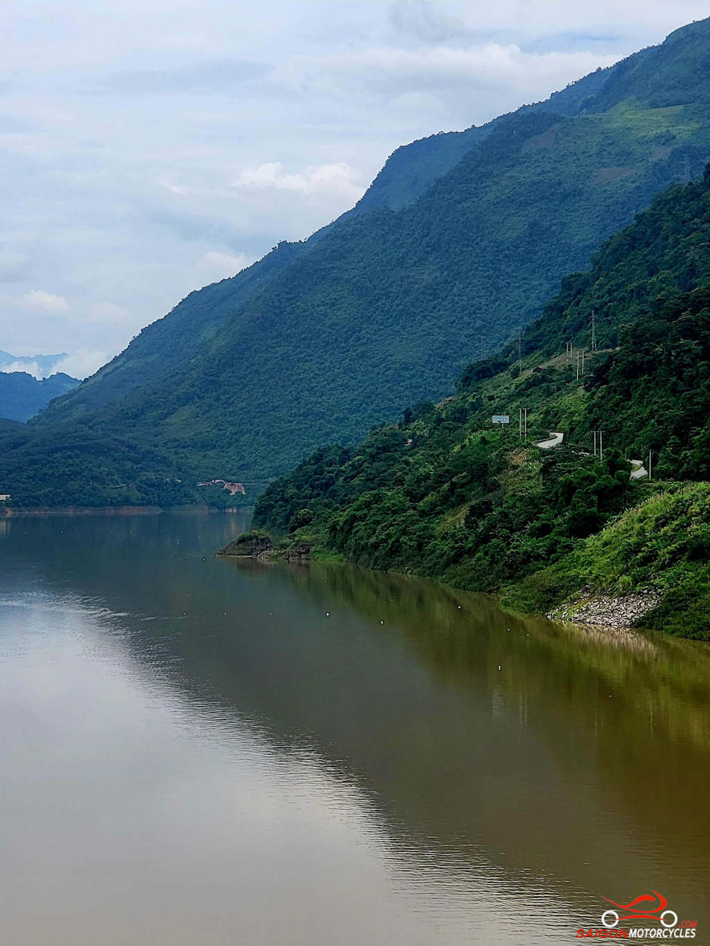
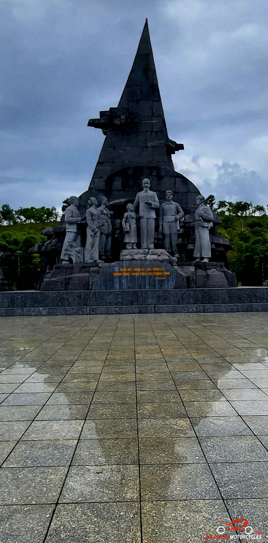
Day 5: Ta Xua - Dien Bien Phu - 275 kms


Day 6: Dien Bien Phu - Sa Pa - 338 kms
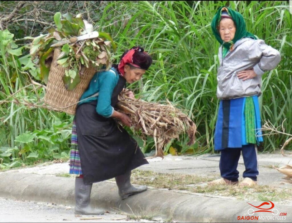


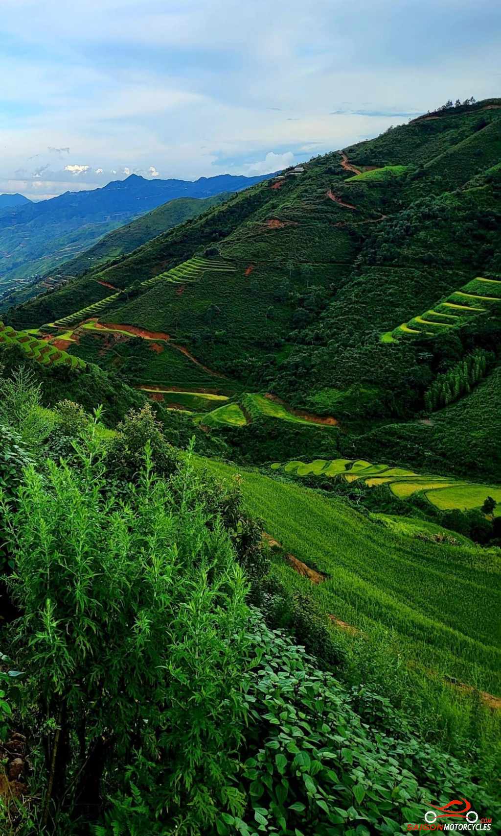
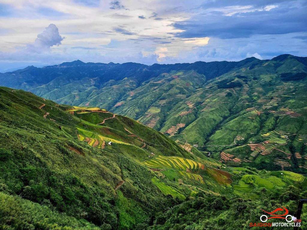
Day 7: Sa Pa - Hoang Su Phi - 260 kms


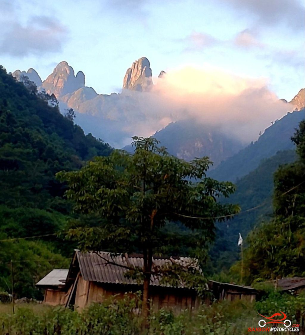
Day 8: Hoang Su Phi - Dong Van - 260 kms


Day 9: Dong Van - Meo Vac - 120 kms


Day 10: Meo Vac - Cao Bang - 198 kms


Day 11: Cao Bang - Ban Gioc Waterfall - 195 kms


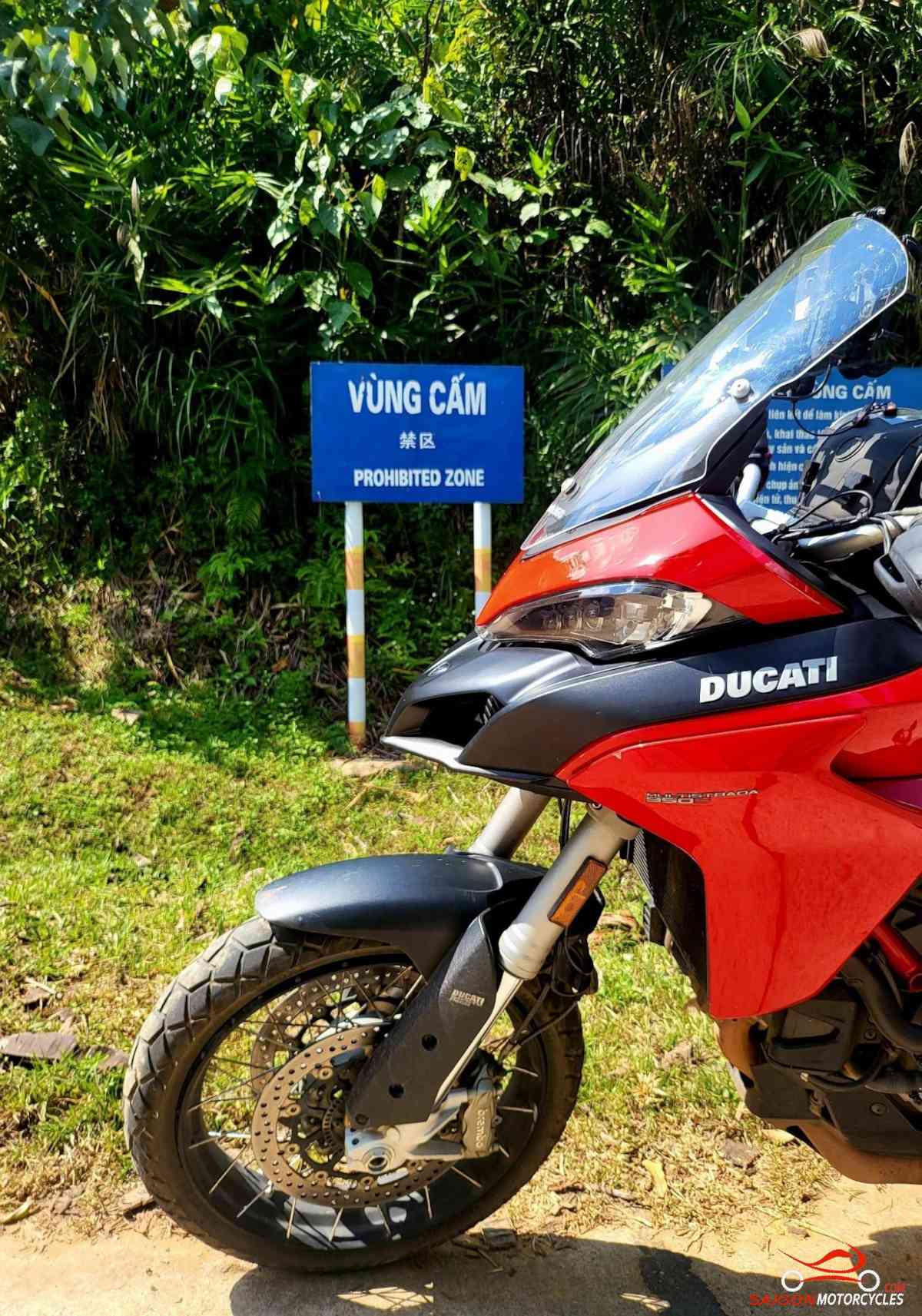
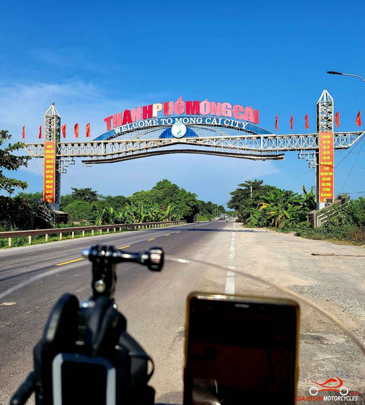
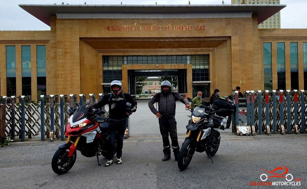
Day 12: Cao Bang - Mong Cai 340 kms

Day 13: Mong Cai - Ha Long - 250 kms


Day 14: Ha Long - Hanoi - 140 kms