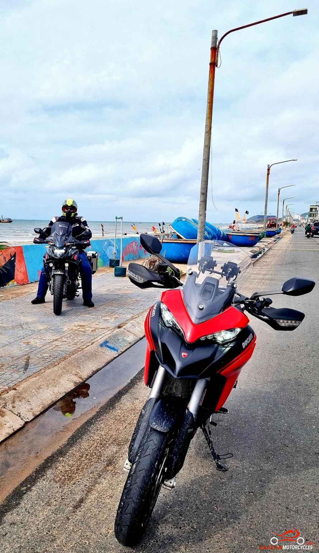
Day 1: Vung Tau - Bao Loc - 300 kms


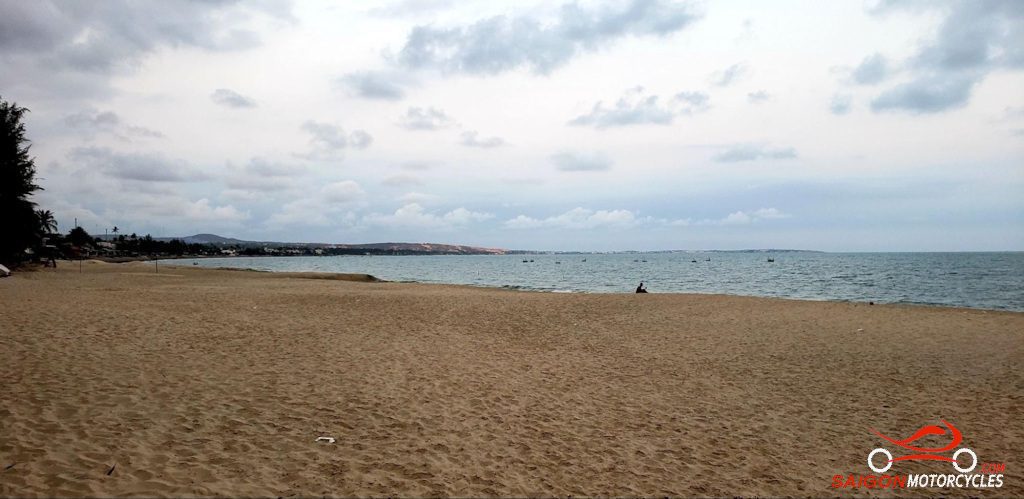
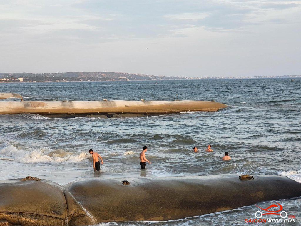
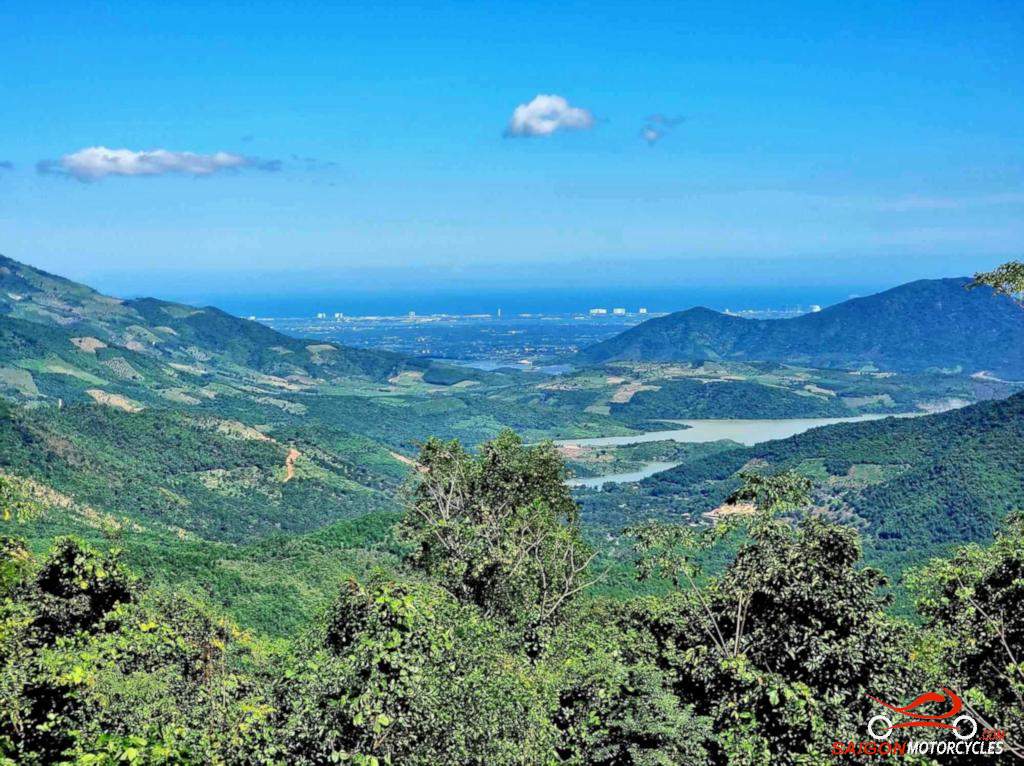
Day 2: Bao Loc - Mui Ne - 150 kms


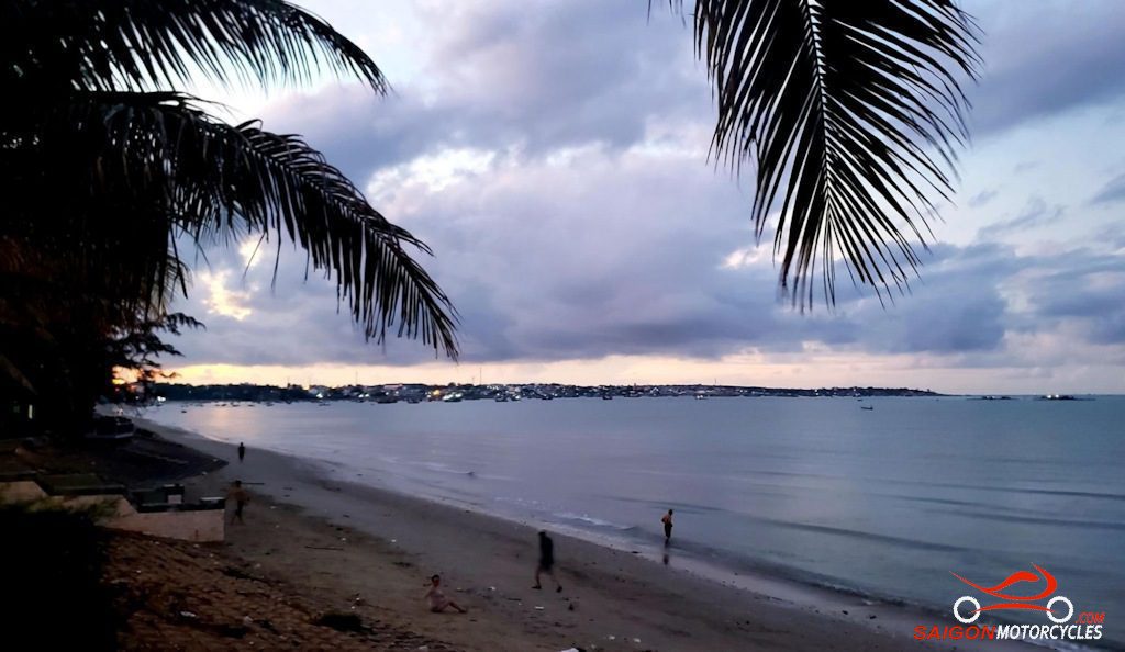
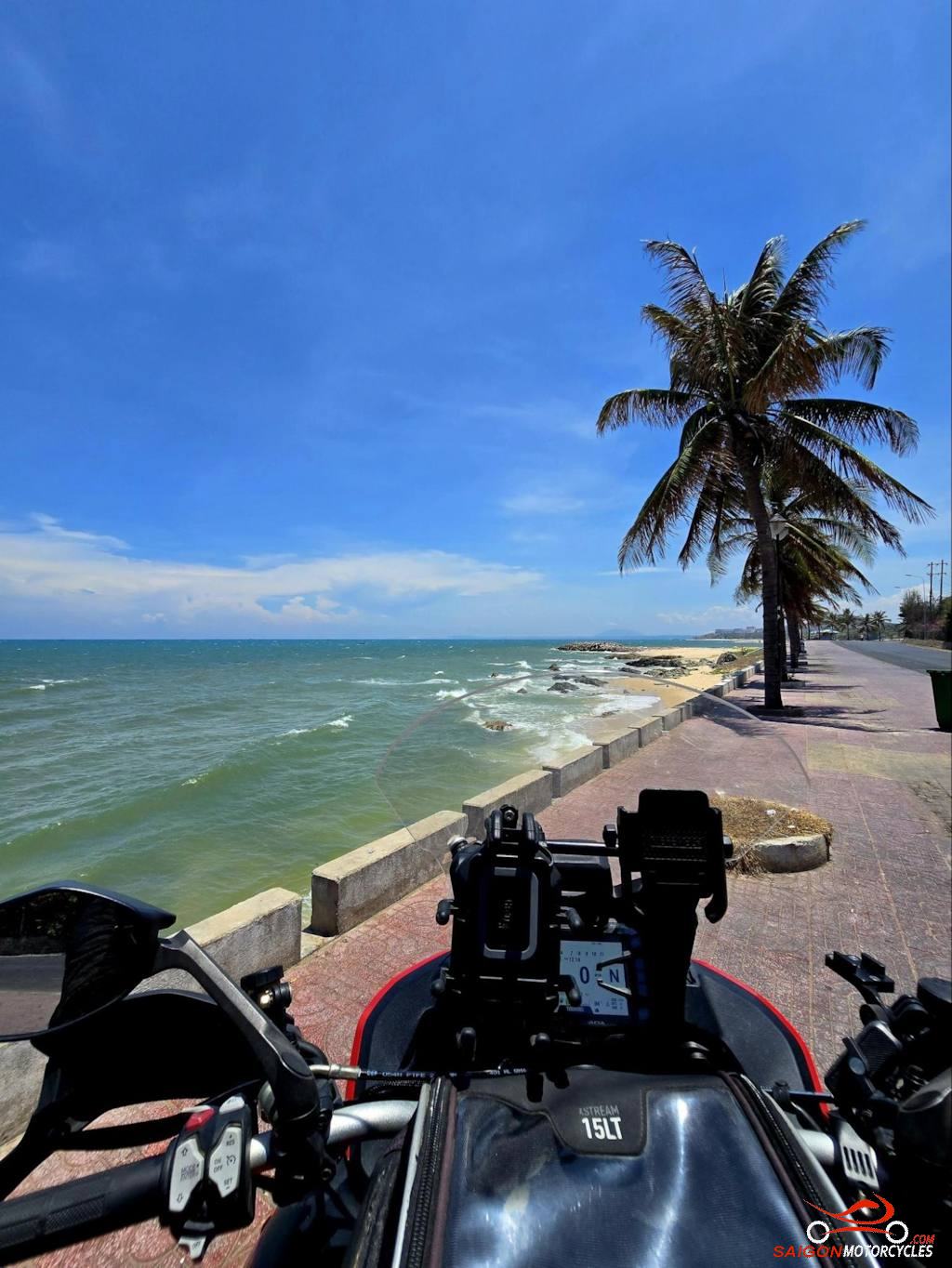
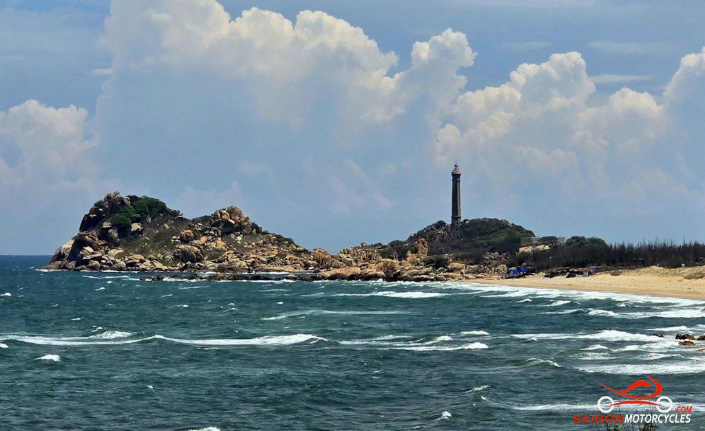
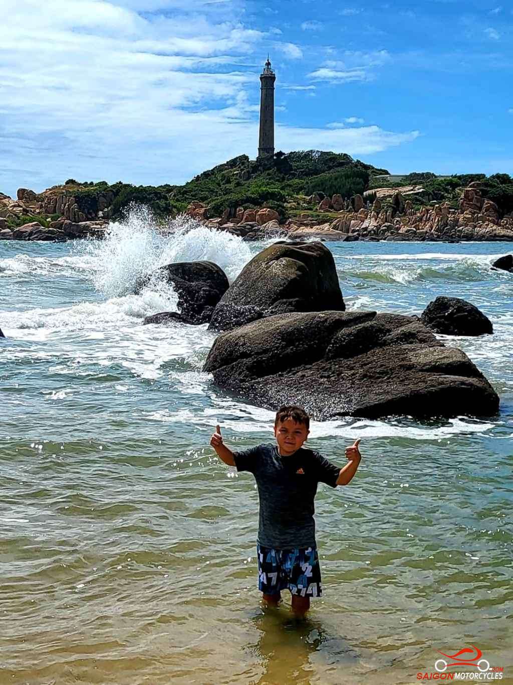
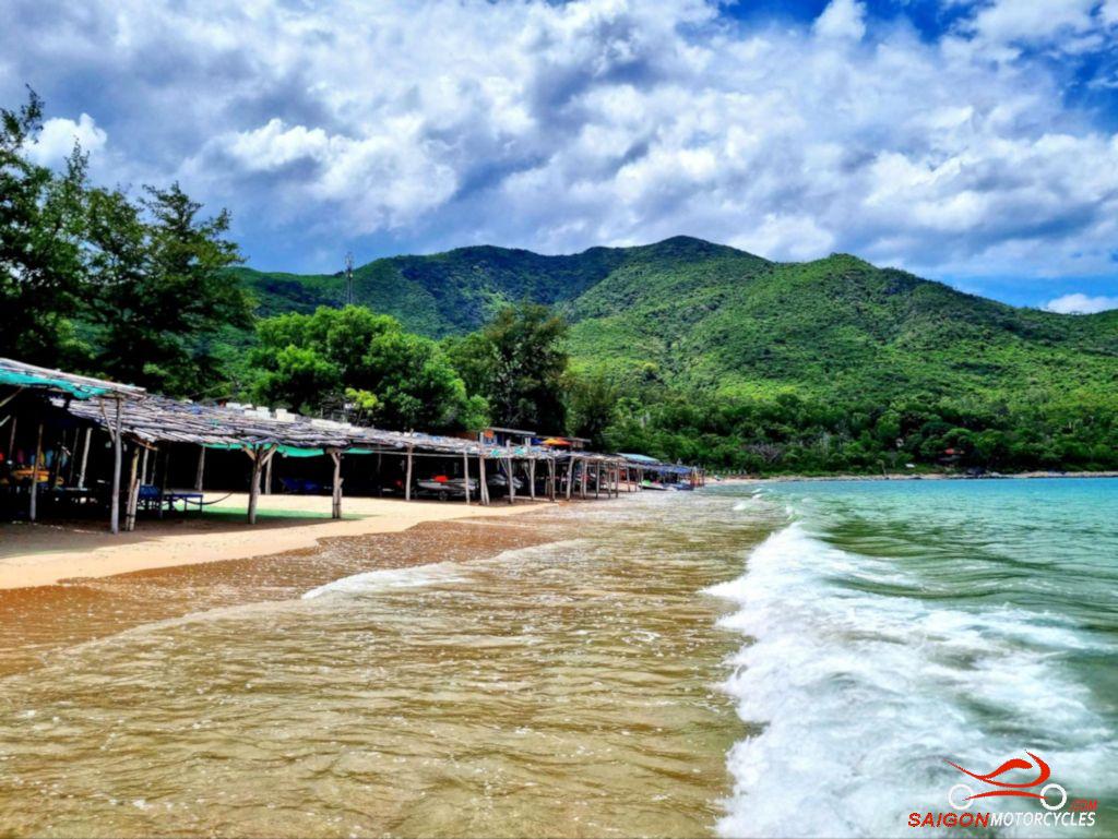
Day 3: Mui Ne - Vung Tau via Coast - 195 kms