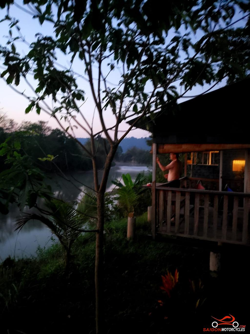
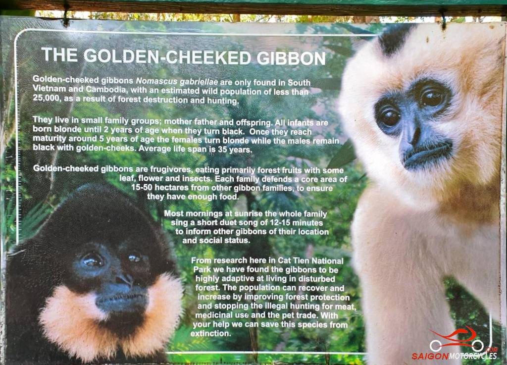
Day 1: HCM City - Cat Tien via River - 165 kms


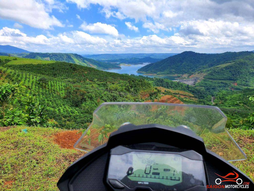
Day 2: Cat Tien - Ta Dung - 200 kms


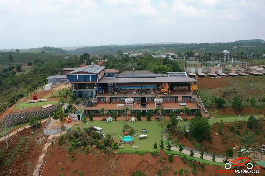
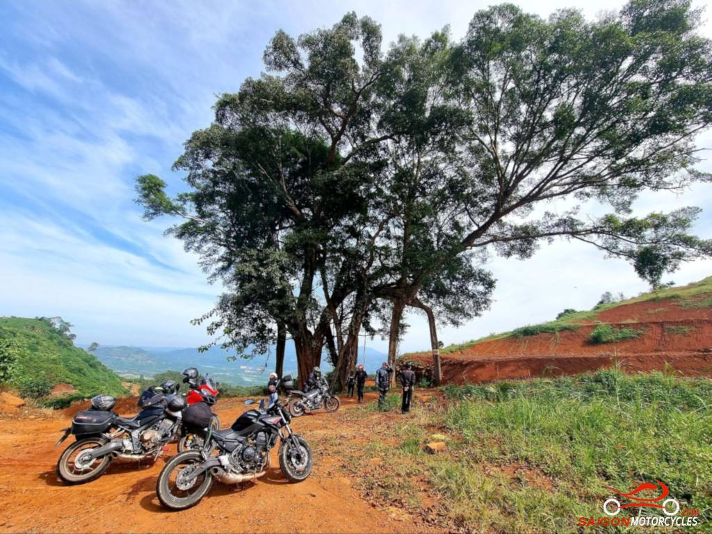
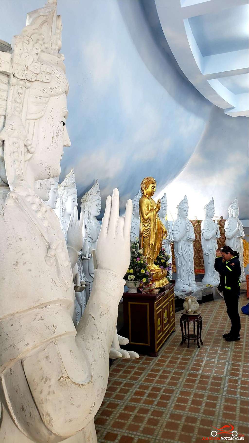
Day 3: Ta Dung - Da Lat - 100 kms


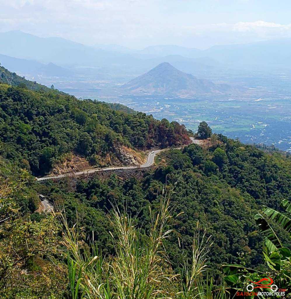
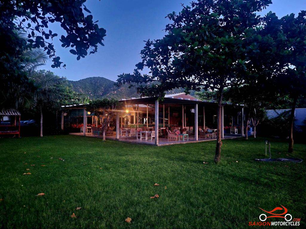
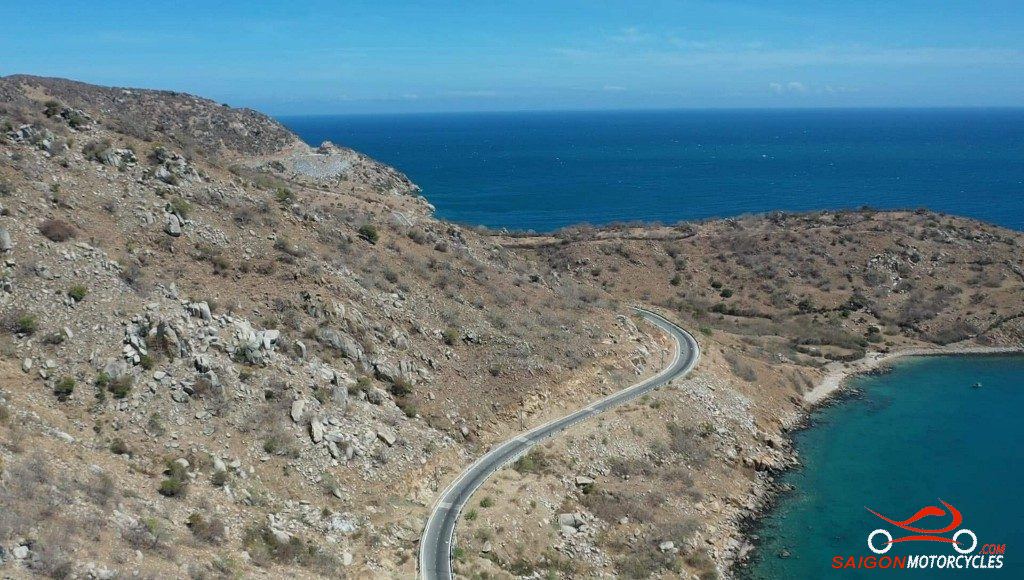
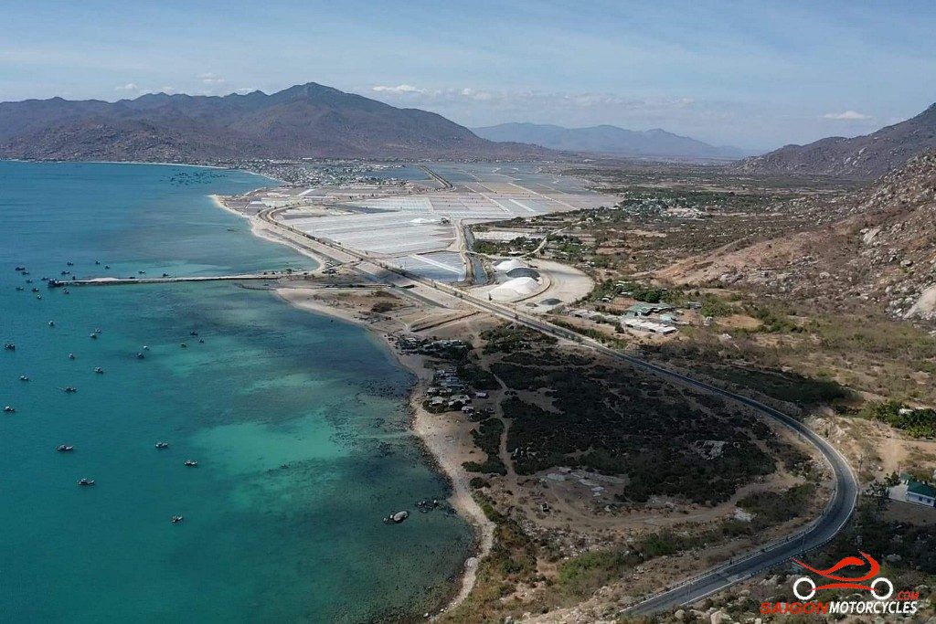
Day 4: Da Lat - Sorrento Beach Club - 215 kms


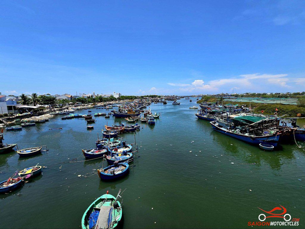
Day 5: Sorrento Club - Mui Ne - 180 kms

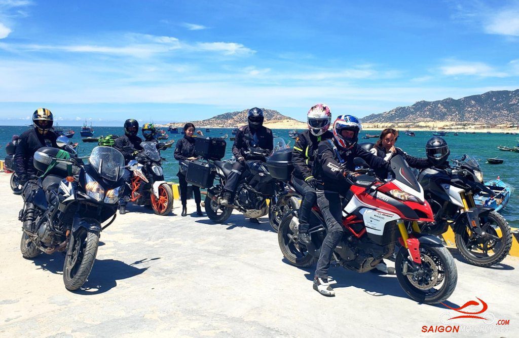

Day 6: Mui Ne - HCM City - 300 kms