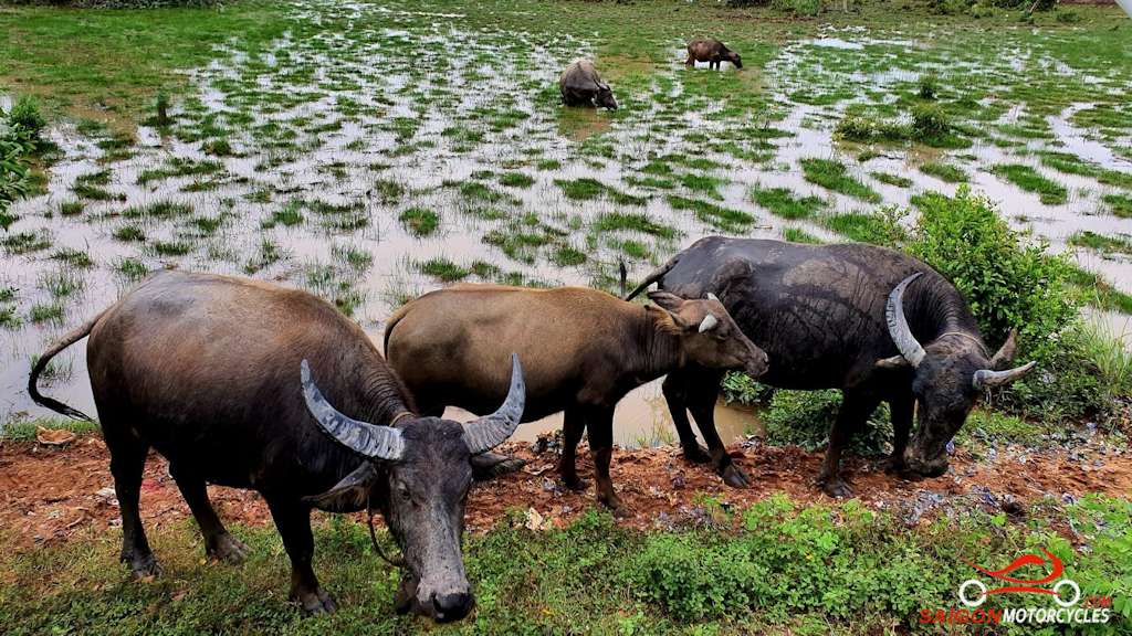
Day 1: HCM City - Vung Tau via River - 145 kms

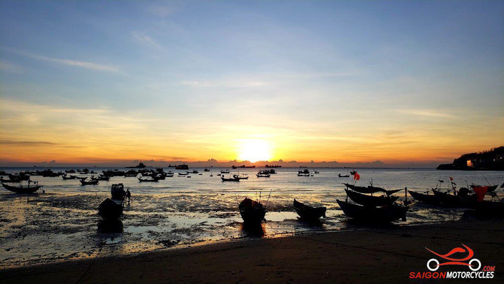


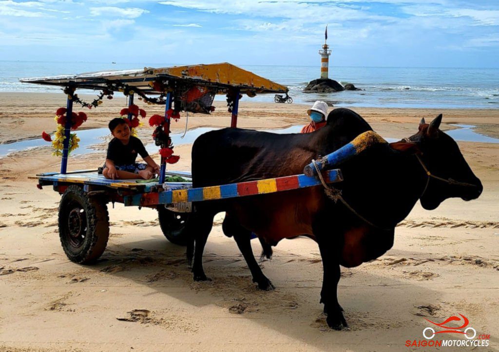
Day 2: Vung Tau - Mui Ne via Coast - 195 kms


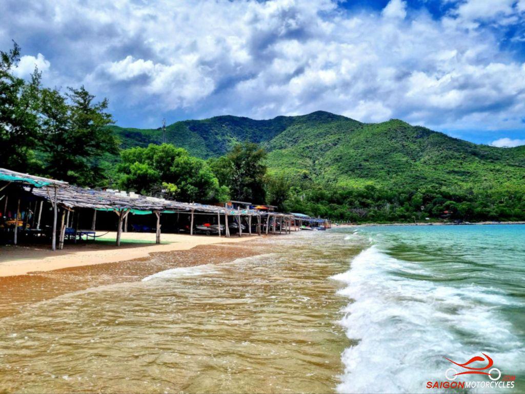
Day 3: Mui Ne - Sorrento - 170 kms


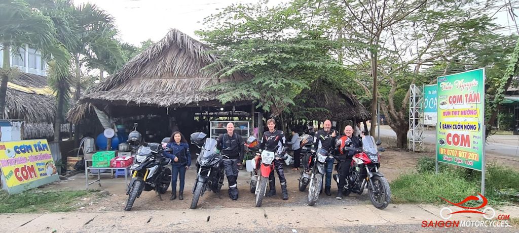
Day 4: Sorrento Club - Da Lat - 250 kms


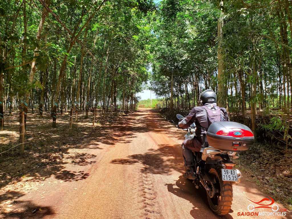
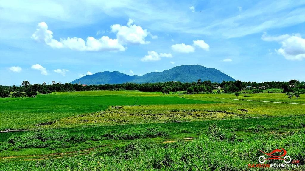
Day 5: Da Lat - Cat Tien - 220 kms


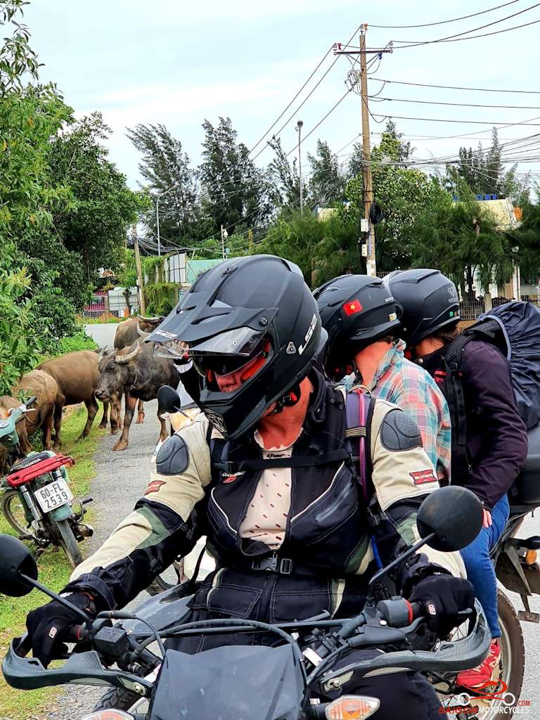
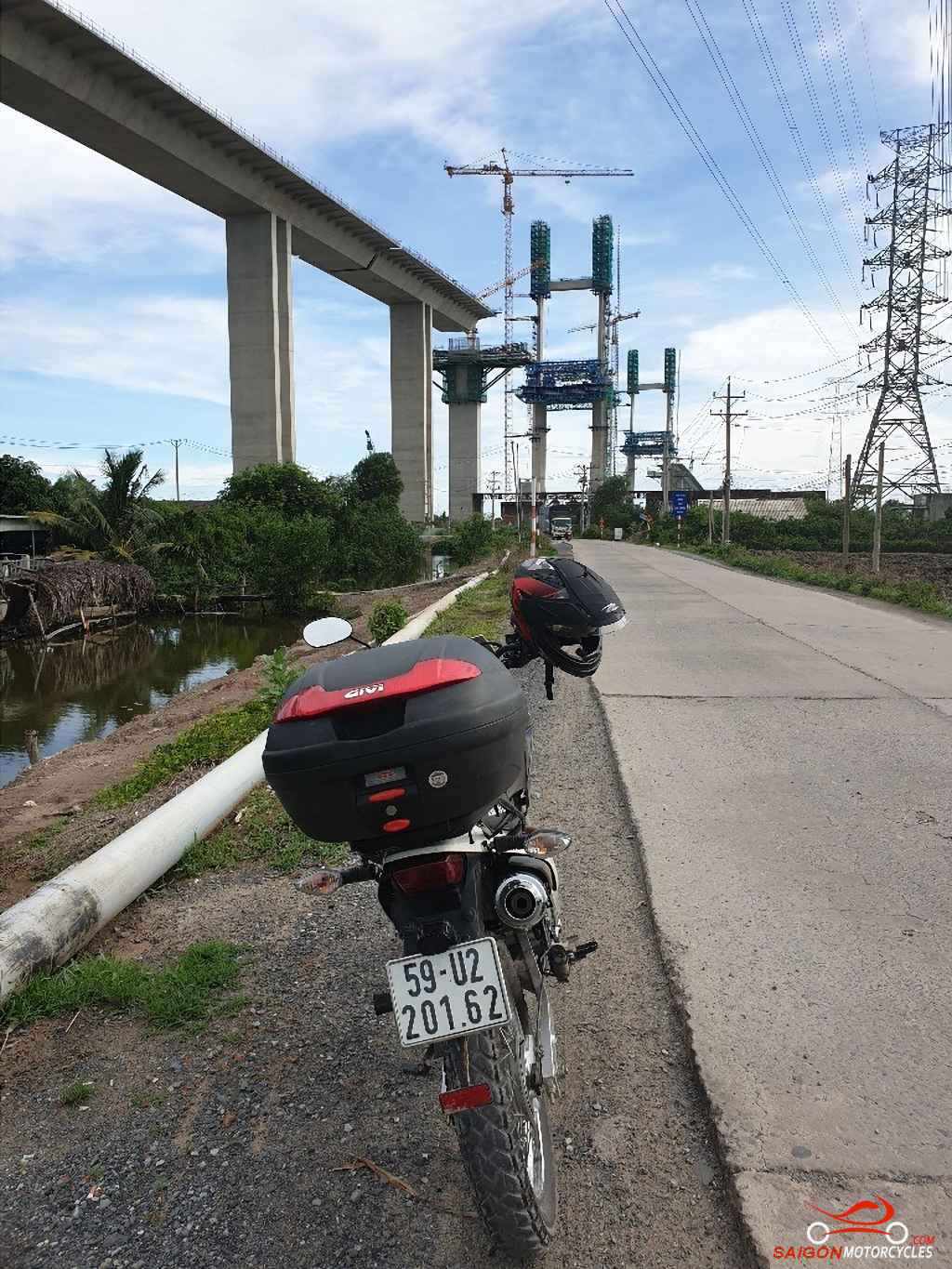
Day 6: Cat Tien - Cat Lai Ferry - 160 kms