HCM City – Nha Trang – 7 Day Loop

HCM City – Nha Trang – 7 Day Loop

Route Summary:

Duration: 7 days - 1,350 kms

If diversity is what appeals to you, this certainly has that in spades. Night one to the coast then the second night you’re across the river from Vietnams second biggest National Park. You could easily add a day there to explore. The views in the next two days have to be experienced to the second biggest coastal city in the country. Again easy to add a day here too before the two day coastal run South bound and the farmland, lakes route back to the big smoke.

Click for Route details:

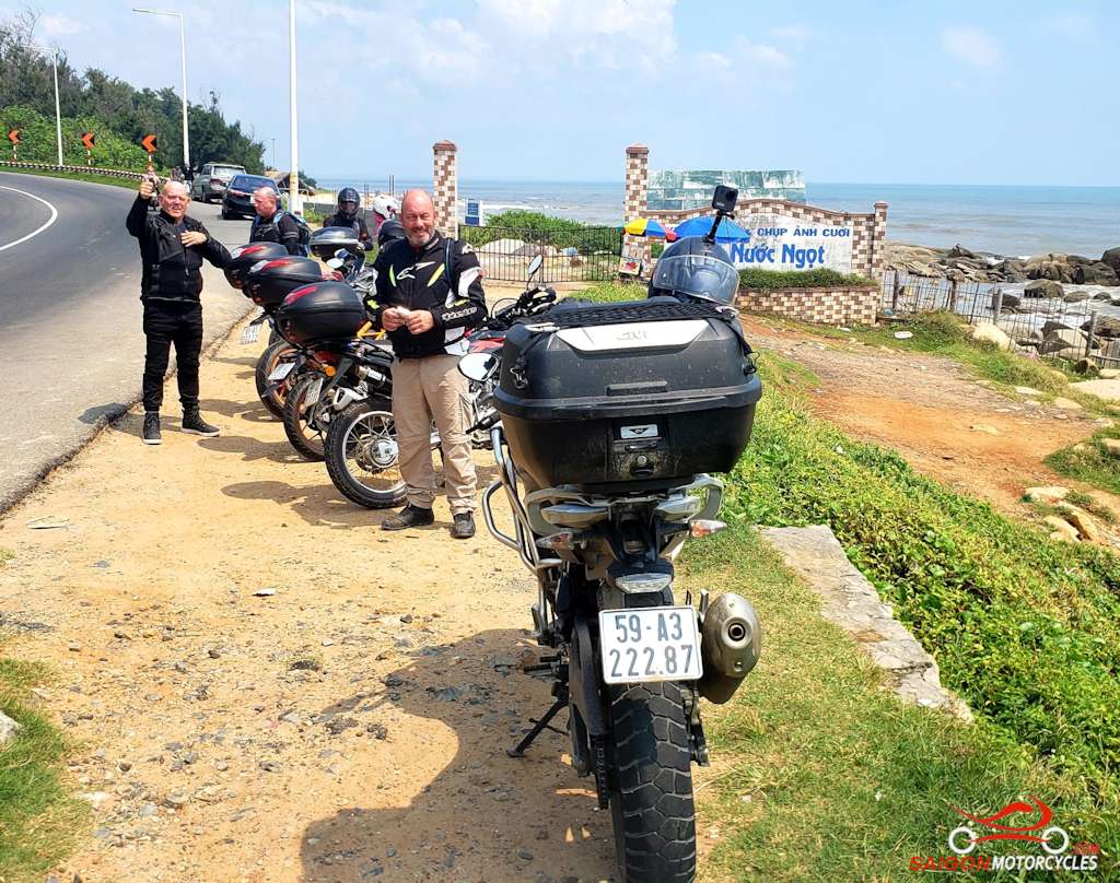
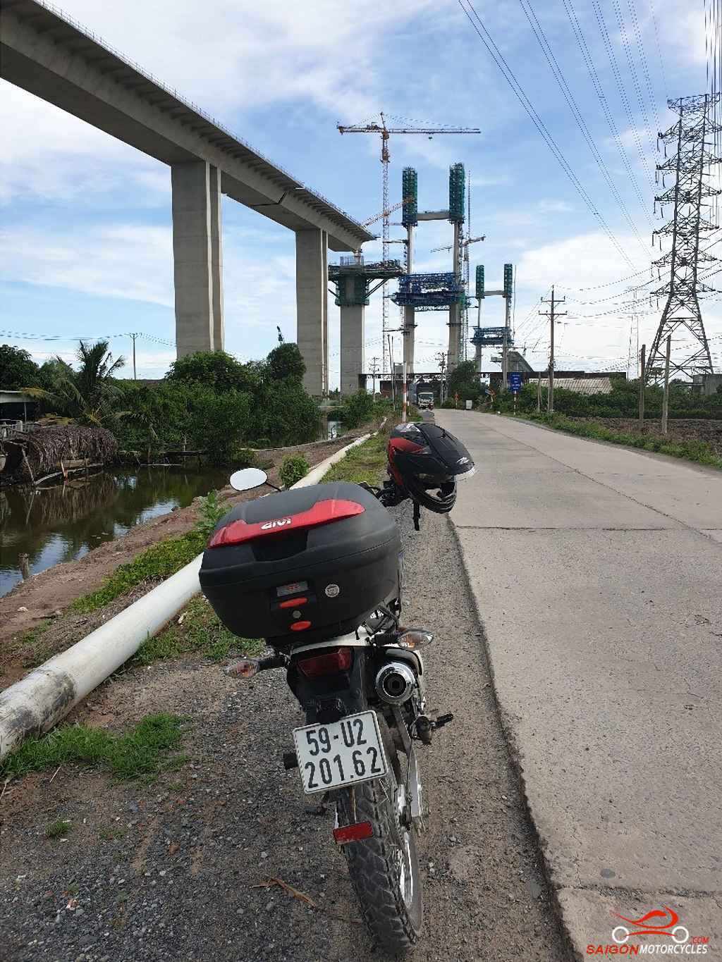
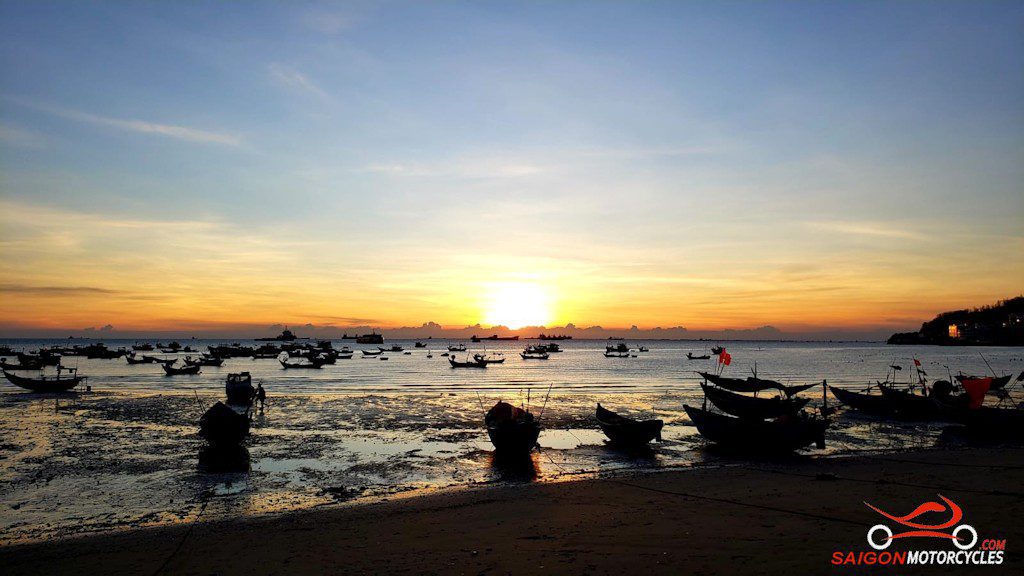
Day 1: Cat Lai Ferry - Vung Tau via River - 145 kms

Cat Lai - Vung Tau via River

Distance: 145 kms

From the first right hand turn you get the feeling Saigon is well behind you and it’s game on.

Though at this point still a view to D7 over the river its a very different environment for the first timer out of the city. I remember it some 13 years ago fondly for that.

The first stretch of the river road was unsealed but generally pretty solid with plenty of pot holes but we were out of the rat race and into the fun. These days its all concrete so accessible even for scooters.

A lot of the land along the river is low lying wetland. Its an amazing area really considering its in such close proximity to the countries largest concrete jungle.

There’s always plenty to keep you interested. This isn’t a fast ride but one to relax and take it all in along the way.

(A, B, C, & D) Are all just way points on this one to keep you exploring off the main arterials. The coffee stop is a good one.

There is a short unavoidable stint on the QL51 before the left turn which gets you back on some quiet back roads again. The farmland areas this side of the highway are very different to the river section adding great diversity to the day.

(E) Is a winding bitumen road and the best of the ride if time allows. There’s plenty of off tracks and temples to explore up there also.

(F & G) Take you the best way into town and are two of the better seafood restaurants if a late lunch or early dinner is in order. The second on the water is my preference.

Log in below to view full route maps, accommodation and food information.
These are supplied to all our touring bike customers.
(Excluded from the above itinerary) 
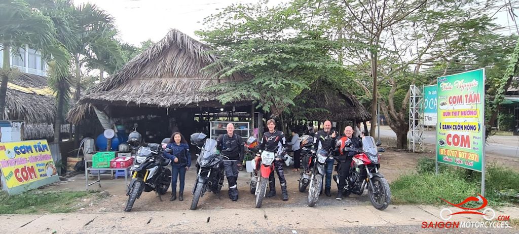
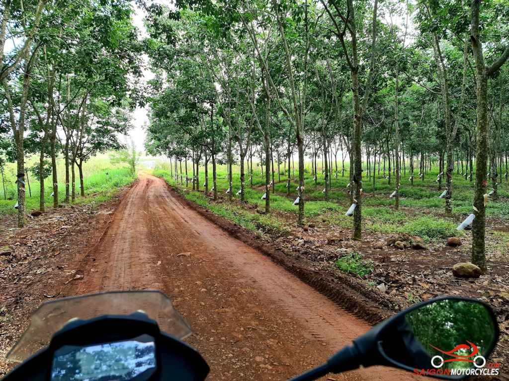
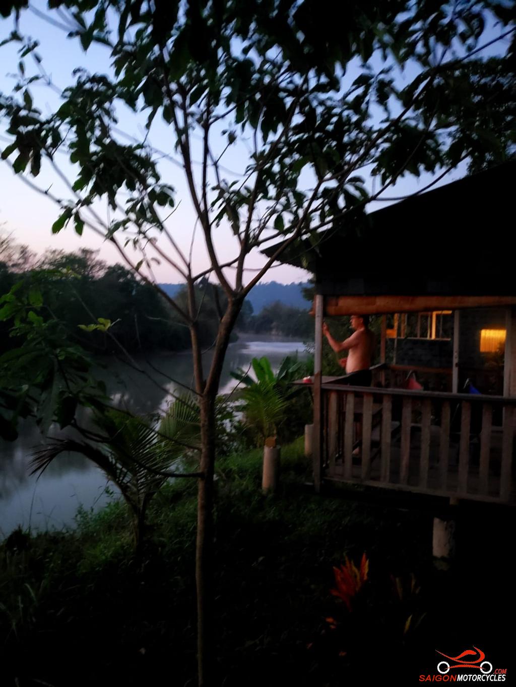
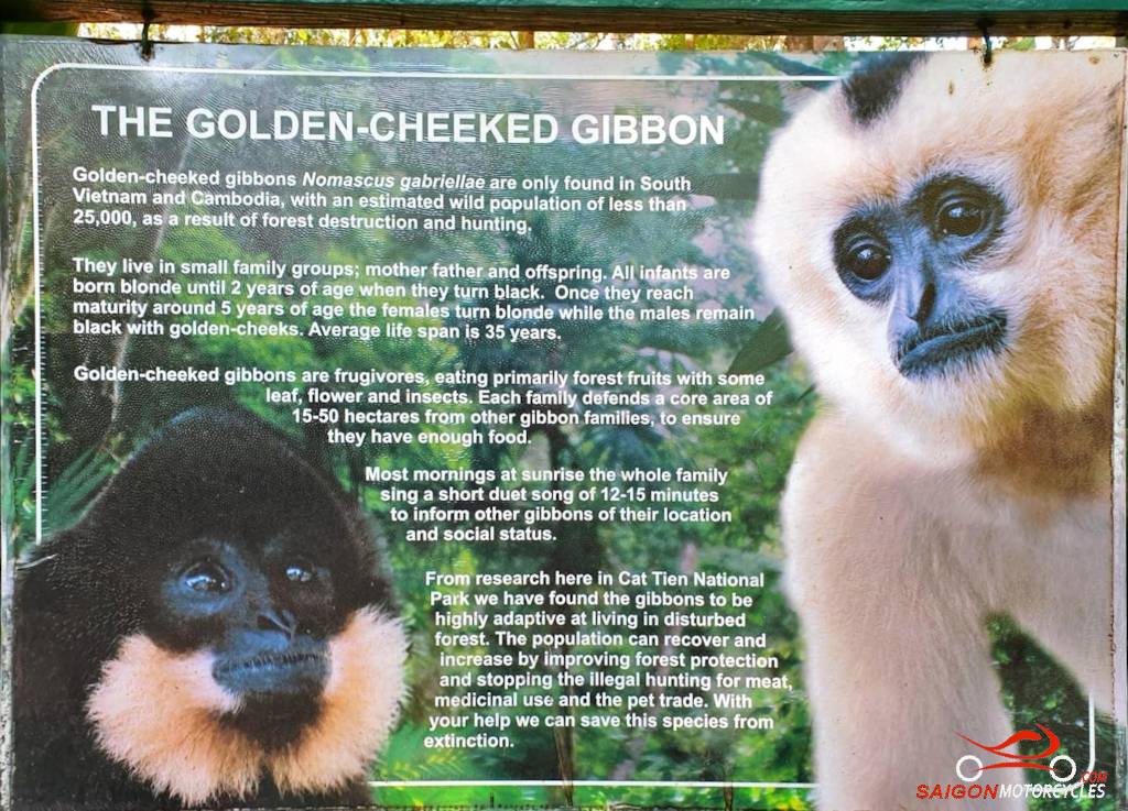
Day 2: Vung Tau - Cat Tien - 185 kms

Vung Tau - Cat Tien

Distance: 185 Kms

This backroads route initially hugs the coast before we divert inland through farmland mainly, with a few water stops to the Cat Tien township. The last of the Southern Vietnam plains before the mountains that cover the rest of the country. 

The Cat Tien National Park covers an area of 750 km² in the provinces of Dong Nai, Bình Phuoc and Lam Dong and preserves one of the largest areas of lowland tropical forests left in Vietnam. Easy to spend some time there if natural beauty in peace and quiet appeals as a nice change of pace.  

(A) and (B) keep us on the coast where possible. (B) is a popular photo stop before we head for the rubber plantations. 

(C) The Long Tan Cross established in memory of the 18 Australian and 245 Vietnamese soldiers killed In the August 1966 Battle of Long Tan. 

(D) and (F) are both short diversions to lake stops along the way. A good option if you’re ready for a break or for a photo but can also be deleted if you want to keep at it. 

(E) This tourist area is a great swim opportunity on a hot day. At its best in wet season.

(G) and (H) take you across a dam wall before for me the best stretch of road for the day into your night stop. 

(I) One of many great accommodation options we recommend in the area and time to feel the serenity. 

Log in below to view full route maps, accommodation and food information.
These are supplied to all our touring bike customers.
(Excluded from the above itinerary) 
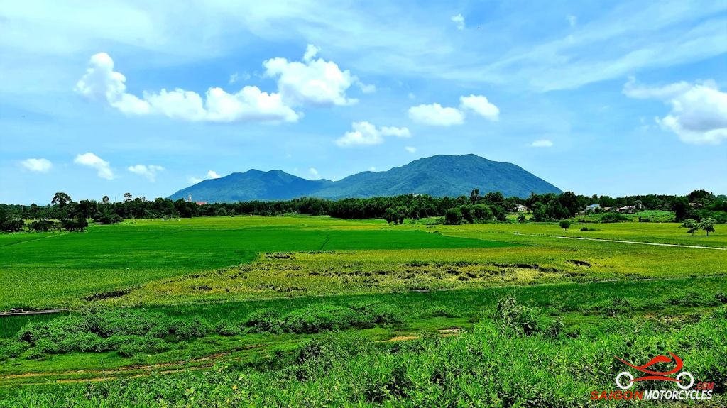
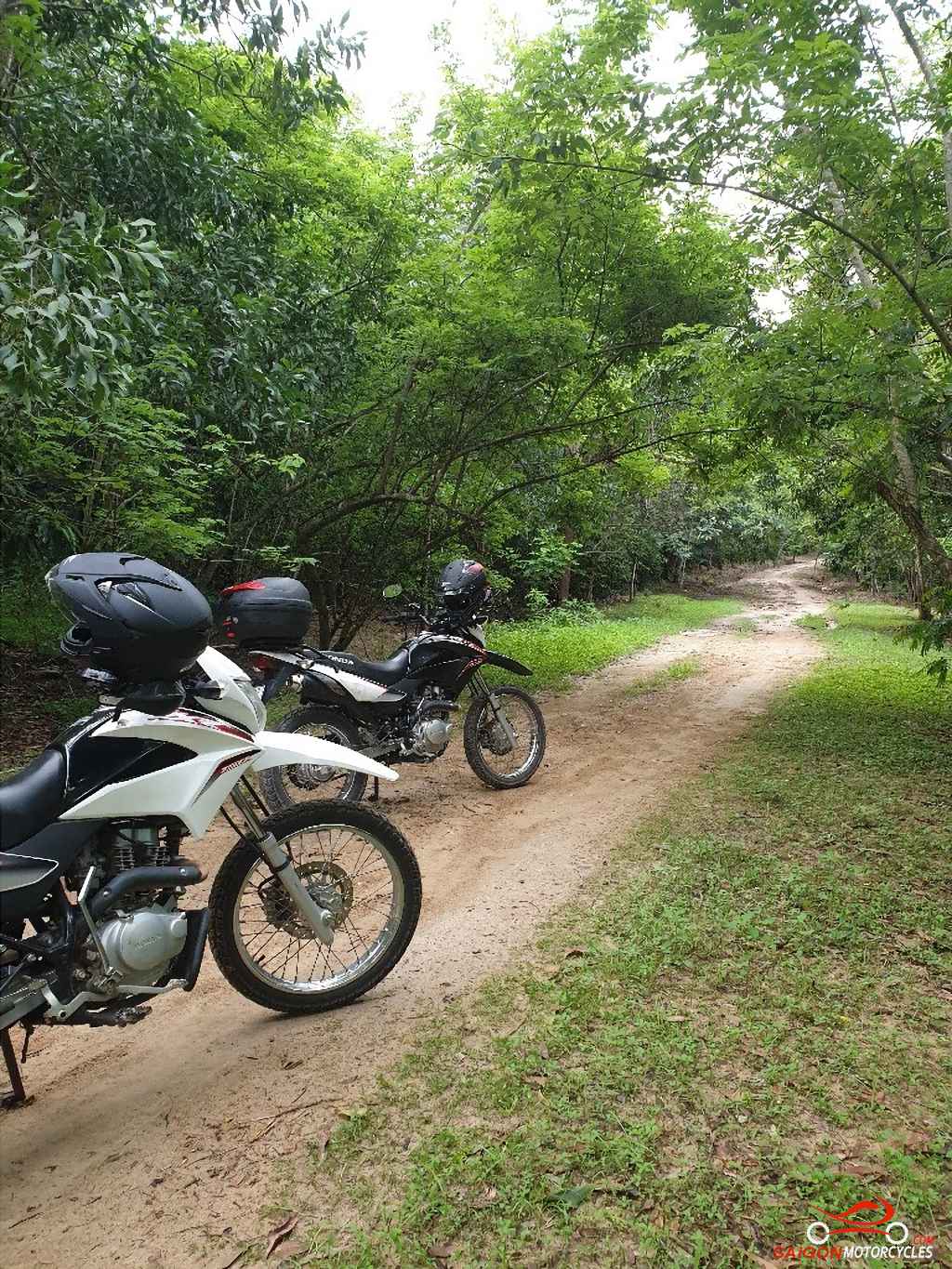
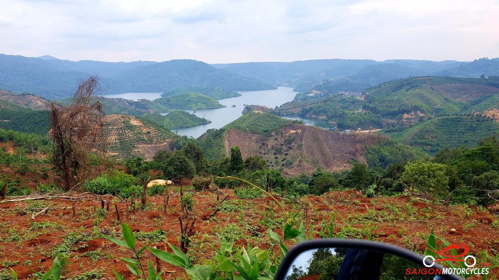
Day 3: Cat Tien - Ta Dung - Da Lat - 260 kms

Cat Tien - Ta Dung

Distance: 200 kms

If you’ve ridden with me or followed our rides you’ll know I enjoy the dawn. This is one of the places the early riser is rewarded. The rogue rooster doing his thing somewhere down the river. Some Gibbons singing if you’re lucky. Just do it!

If you’d like to explore Cat Tien a little. The Gibbon Island tour is informative and a great morning walk through the jungle. The first boat crosses the river at 7am. Check with your accommodation for up to the minute on that.

Go early and you’ll still get this day in but if back to nature is your thing a great area to spend an extra day if you have the time.

This map is around 200 km and is all sealed so a leisurely day with loads of great photo opportunities.

Although Google doesn’t recognise it, there is a bridge between (A) and (B) and it’s a nice way to go. Once over the bridge the map will correct your route.

North with a couple of minor diversions until the left turn West. This stretch is up with my favourite roads in the South. Very open and quiet so on the right machine encourages spirited riding.

(C) is a beautiful area. Often paragliding seen here

You’ll run around the back of the Dong Nai River dam wall which creates the lakes system and the beauty of Ta Dung separating the Dak Nong and Lam Dong provinces.

(D) This Waterfall isn’t up with Vietnam’s most spectacular, but a nice ride in, so worth the detour.

From here to the night stay some great views but keep your focus on the job. Gravel at times kicked onto the road by heavy vehicles.

(E) A good first proper look at the lakes system.

(F) Very impressive also from your night stop.

If travelling with ladies in the group I strongly recommend including this in your itinerary as a night stop. The accommodation really isn’t anything special but food and the views are very good and the place is loaded with interesting photo opportunities that the girls tend to love. At least a lunch stop.

Log in below to view full route maps, accommodation and food information.
These are supplied to all our touring bike customers.
(Excluded from the above itinerary) 
Day 4: Da Lat - Nha Trang - 140 kms

Dalat - Nha Trang

Distance: 140 kms

This has been one of the most variable days in the South over the last decade. The road in its best condition in good weather is hard to beat. Over the years though it has been at times in poor condition and with heavy traffic not without risk. Pretty good at the moment as I write this.

Lorelle is your host for breakfast at One More Cafe. Very cheap for the quality of the meals though 8am open so it depends how early you want to get away. Short day if only going to Nha Trang so it’s a good option.
On your way out of the city a great spot at the end of the lake for a photo.

Dalat is 1500 metres above sea level so this run off the plateau particularly if getting away early can be clouded in. Trucks and tour buses use this road and are predictably careless so be aware in those conditions.

I’ve used the best of your photo opportunities as way points but plenty of others. It’s a short day so take it in with no time pressure.

A few off roads if you feel like exploring but some a bit sketchy so I don’t promote them. Depends on your bike and experience really but on the right gear you can fill in the day playing in this area.

The last point on this route is a great beach bar right in the city. Pub prices on the beach and usually a good social starting point.

Log in below to view full route maps, accommodation and food information.
These are supplied to all our touring bike customers.
(Excluded from the above itinerary) 
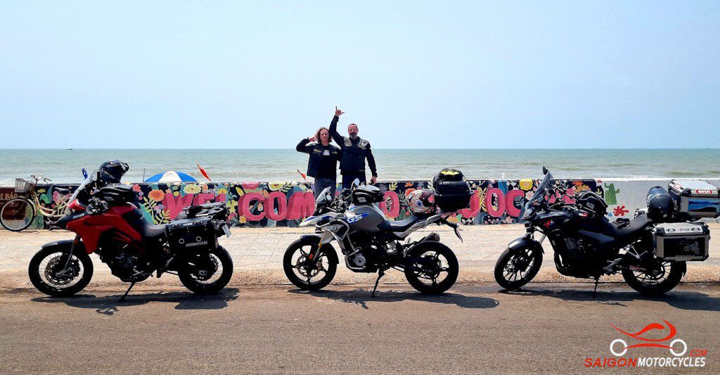
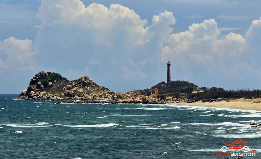
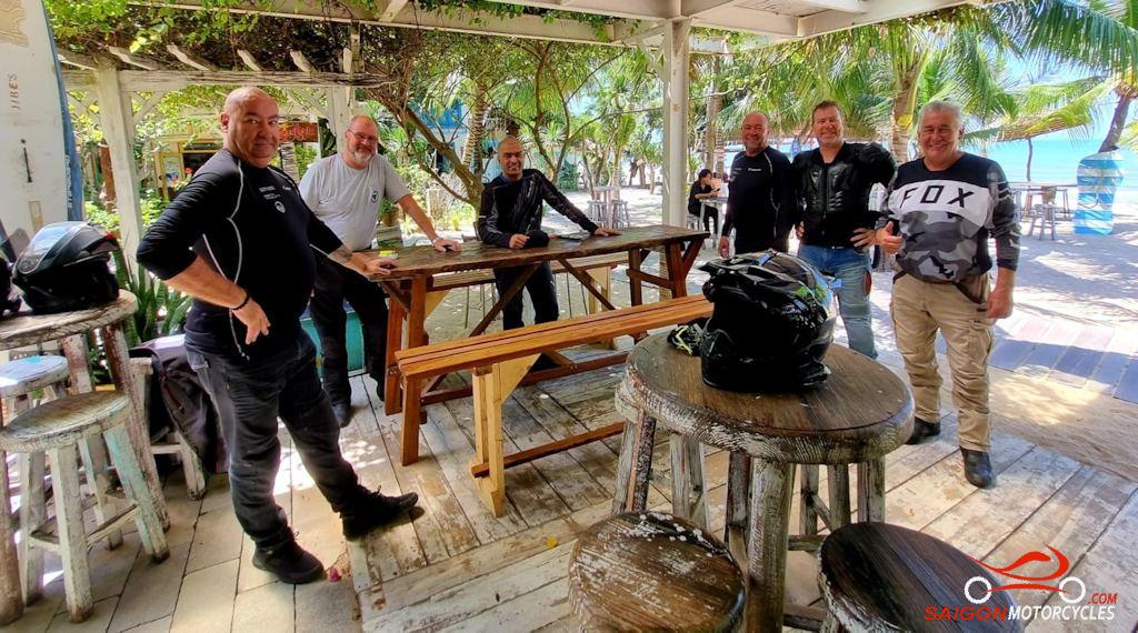
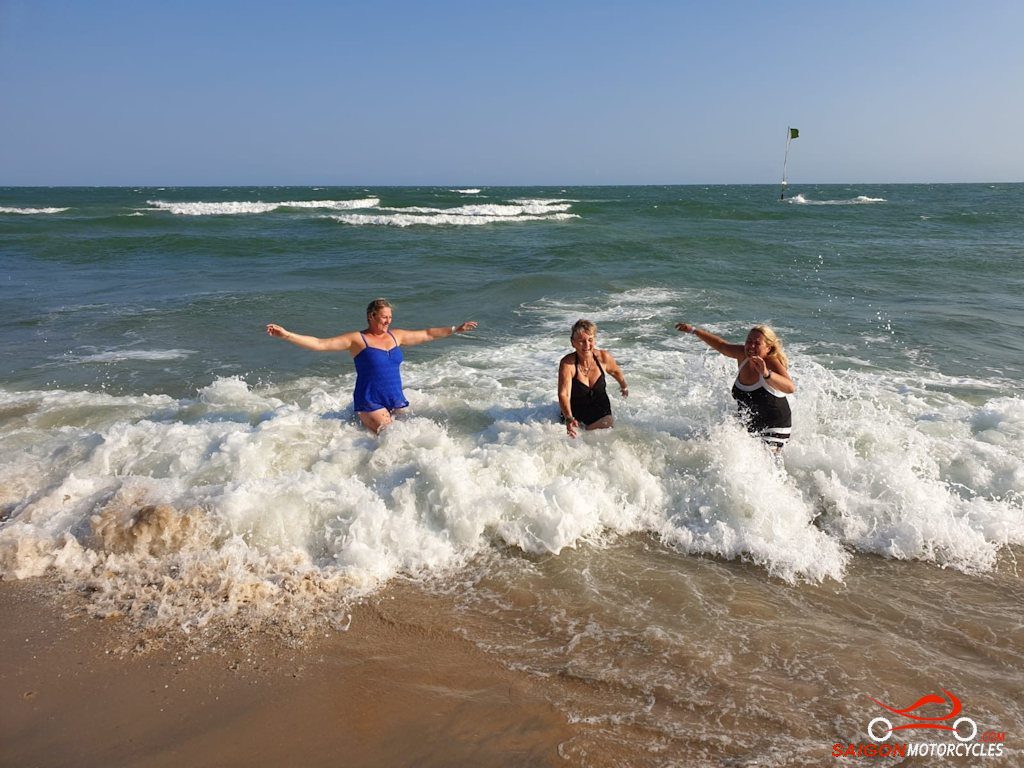
Day 5: Nha Trang - Mui Ne - 275 kms

Nha Trang - Mui Ne

Distance: 275 kms

The starting point for this map, is for those that might be ready for a Big English Breakfast. All the food is good but the breakfast a standout in Vietnam.

(A) Is one of many view points around what is certainly the best motorcycling coastal stretch in the country.

(B) The viewpoint over a protected fishing village tucked into the mountains.

(C) If up for a coffee or you’re away early this is a great breakfast stop. 

(D) A salt farm but you’ll see more of them later.

This area to the next cape land is scattered with fish farming, salt mining, wind turbines and solar panels. Not too picturesque but interesting.

(E) The ride around the Cape is up with the best coastal rides in Vietnam. Great road and beautiful views.  

Use the dedicated bays for photography. They are well placed and safe. Be mindful of sand on corners and often goats and cattle on the road.

Through the salt mine off the cape strong cross winds are usual so keep speed down there if so.

A short unavoidable stretch on the A1 as you pass the Power Station. We get off as soon as possible though back on the absolute coast road.

(F) the bridge out of a larger fishing village. Pretty much last services are there.

(G) is some fun in the dunes. Hire a 4WD with a driver or take your own quad bike. Barter on price. They will get you if they can.

(H) will take you through the fishing township to your night stop.

(I) one of many accommodation recommendations. All good for different reasons.

Log in below to view full route maps, accommodation and food information.
These are supplied to all our touring bike customers.
(Excluded from the above itinerary) 
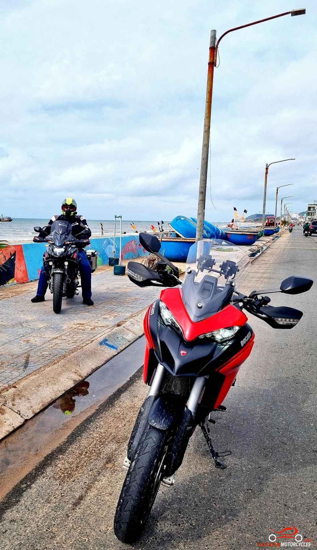
Day 6: Mui Ne - Vung Tau - 195 kms

Mui Ne - Vung Tau via Coast

Distance: 195 kms

As is my habit, a morning swim in any beach town is a great start to the day. Mui Ne though is not the beach paradise of the last few days if you’ve been coming down the coast.

Some areas are decent but unless staying at the adjoining beachside resort most are inaccessible to the public. In most of the town there simply is no beach at all.

All accommodation options have a good pool to fix this problem and we have a great time here regardless. A big breakfast and we get out of town on the coast.

This is a simple and relaxing relatively short day to Vietnam’s Southernmost beach town on the mainland.

(A) Is a viewpoint to keep you off the A1.

(B) At 64 metres high and built by the French in 1899 the oldest and highest lighthouse in Vietnam. A great first stop to have a walk and check out the area. 

(C) One of two recommended lunch stops. Good VIetnamese menu right on the beach so a swim opportunity also.

(D) If a seafood lunch appeals this is the best of many great restaurants in the area.

(E & F) Takes you through a fishing village.

(G & H) Píns to keep you on the coast to our preferred accommodation options.

(I) Twisted Throttle Tavern for a few cold beers and great pub food.

Vung Tau, the city I choose to base myself, has over 500,000 residents but doesn’t feel that big. A clean city with a good year around climate and a lot to offer visitors. To date not particularly well marketed but I feel that will change with the development of the beach areas in progress and planned for the near future.

Log in below to view full route maps, accommodation and food information.
These are supplied to all our touring bike customers.
(Excluded from the above itinerary) 
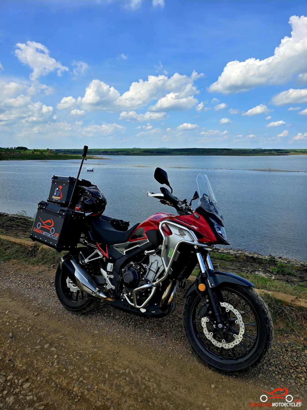
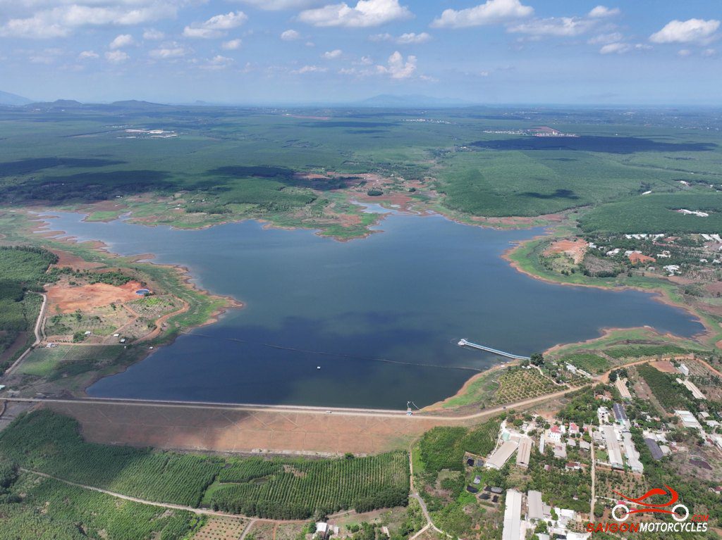
Day 7: Vung Tau - HCM City via Lakes - 150 kms

Vung Tau - Cat Lai Ferry via Lakes

Distance: 150 Kms

One of many inaccuracies I hear from foreigners here is that the ride to and from Saigon and Vung Tau is terrible. On the arterials yes, but this diverse farmland ride through rubber, corn, banana, pepper, sweet potato and cassava is relaxed and interesting. 

If you’re on a loop I likely had you on the river tracks down as it gets you out of the city traffic the quickest but this lakes run is my favourite. Be aware in wet season the trails through the rubber plantations are very slippery. 

Plenty of great deviations off this map too so if you have time, follow it loosely and enjoy some exploring. Many of the trails aren’t on maps but it doesn’t matter you’ll pick it up again later. 

(A) is a popular photo stop. Usually a lady set up there for a morning coffee too. 

(B) takes you on the beach road through a fishing village and marks where you turn inland to the rubber plantations 

(C) is a memorial cross in memory of the 18 Australian and 245 Vietnamese soldiers killed In the August 1966 Battle of Long Tan.  

(D) and (E) gets you to the next lake though casava and pepper crops. 

(F) A chocolate factory is your lunch stop on another lovely lake. Orders take a while but the food is good and the portion sizes very generous. 

(G) takes you past two more lakes and is the point we turn left on some trails. Nothing technical but easy to map around it if necessary. 

(H) is a random coffee shop marked only to take you around a favourite police haunt for their coffee indulgence. 

(I) on the ferry and if returning to our D2 shop just 13km dealing with most riders daily reality here. 

Log in below to view full route maps, accommodation and food information.
These are supplied to all our touring bike customers.
(Excluded from the above itinerary) 

Log in below to view full route maps, accommodation and food information.
These are supplied to all our touring bike customers and excluded from the above itinerary.

Shopping Cart
Scroll to Top

Yohe Helmet Giveaway!

Offer valid until end 08/25 

10% off All Helmets
For Students!

20% sale on other selected helmets
Receive a free
Balaclava and JoBoy Sunglasses
with any helmet valued over 3 mill vnd.
Offer available from 1/8/25 – 28/8/25

FREE OIL CHANGE on Saturday 5th April

  • Do you love your bike?
  • Do you tour or ride more than 1,000 kms a month?
  • Is you bike 2018 model or later?

If the answer is “Yes” and you ride one of the listed models, you qualify for a free, high quality oil change from Anglomoil. Click the button below and if your bike is listed, come and see us for a FREE oil change!